Dear all,
in the activity settings -> maps I can activate/deactivate elevation lines, but I can't see them on the map. Do I need some other settings for that?
Kind regards
Marcus
Ok, here we go again:
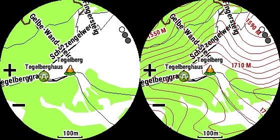
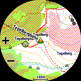
left pic: TopoActiveEurope (no contour lines in the default map data available!)
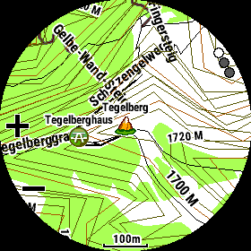
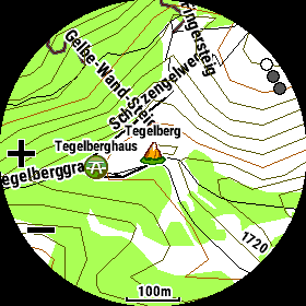
right pic: TopoActiveEurope with additinal loaded and enabled LIDAR contour lines for Germany…
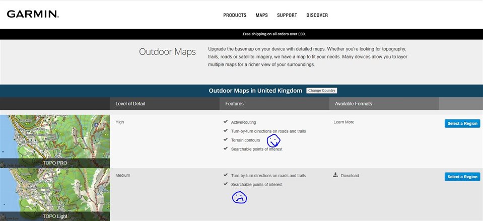
Folks, the TopoActive Europe maps don't have contour lines on (they specifically list this as one of the features of going to Topo Pro maps for Europe, when you look at the Garmin Map store). Clearly…