Dear all,
in the activity settings -> maps I can activate/deactivate elevation lines, but I can't see them on the map. Do I need some other settings for that?
Kind regards
Marcus
Dear all,
in the activity settings -> maps I can activate/deactivate elevation lines, but I can't see them on the map. Do I need some other settings for that?
Kind regards
Marcus
Ok, here we go again:
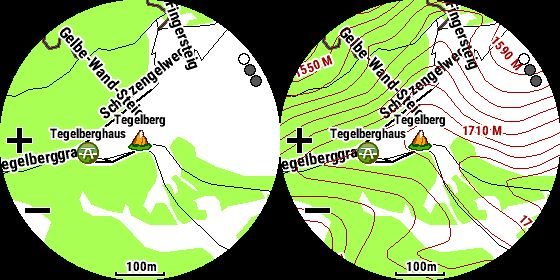
left pic: TopoActiveEurope (no contour lines in the default map data available!)
right pic: TopoActiveEurope with additinal loaded and enabled LIDAR contour lines for Germany…
Folks, the TopoActive Europe maps don't have contour lines on (they specifically list this as one of the features of going to Topo Pro maps for Europe, when you look at the Garmin Map store). Clearly…
What do you mean with „activate/deactivate elevation lines“?
As far as I know, these maps gets elevation data (from the installed DEM map), but no contour lines. If you need/want contour lines, you must add them from a different source.
Looking at the map of a recent hike, i have contour lines.
I have contour lines:

They are part of the map "TopoActive Americas North 2019.10" which came loaded on my 6X Pro. Since the contour lines are part of the map, there is no way to "toggle" them, on or off.
HTH
I think the TopoAvtiveAmerica have contour lines the TopoActiveEurope haven’t.
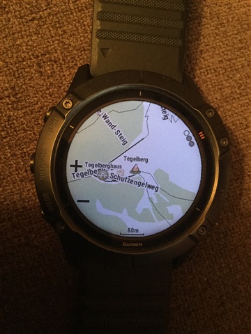
TopoAvtiveEurope
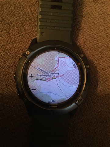
GarminTopo Germany Pro V8
Activity >maps>draw contour lines (disabled it)
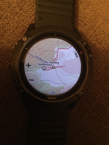

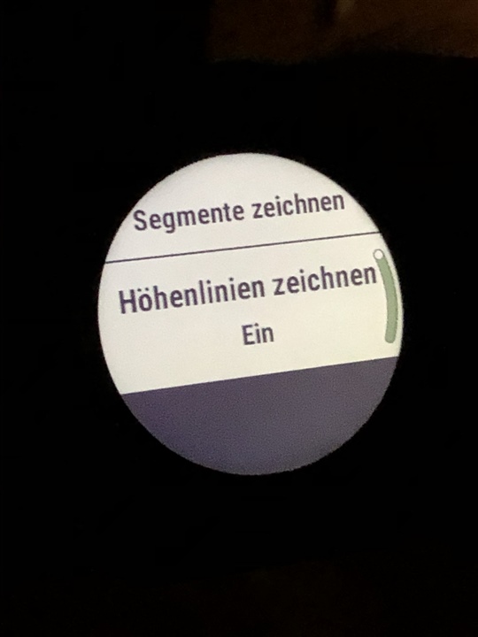
I do have a switch to toggle contour lines on and off
e.g. Start activity Trailrun > Trailrun Settings > Maps > „Use system Settings“ OFF > scroll down to last option

Hi Volker,
thank you. I think I will install the contour lines map then from openmtbmaps and activate it as I did on my 5x
Best
Marcus
Same Problem here. Is the Topo Map Europe really without topo lines :( ?
Same problem here, can't get the elevation lines to work.
The supplied TopoActive maps supplied on the European models do NOT have contour lines. The US models do.
if you want contours, you will need to install other maps that contain them, such as the ones that I do, I even have a free British Isles map that has 10m contours as standard. I also do more detailed maps that contain both contours, DEM, and far more data than the supplied Garmin ones...