My Edge 530 significantly overestimates the elevation of routes. Here comes an example:
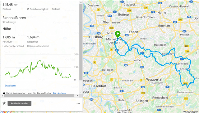
Route in Garmin Connect - elevation 1685 m (realistic):
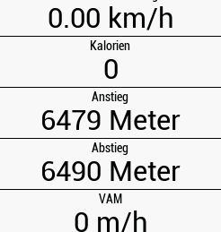
Elevation calculated by Edge 530 - 6479 m (much too high)
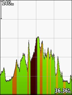
Height seems to be correct on the Edge 530 (max. 380 m), but overestimated elevation causes "too red" climbs:
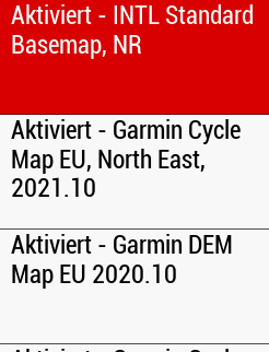
Cycling maps north-east and south-west, digital elevation map, and basemap are active:
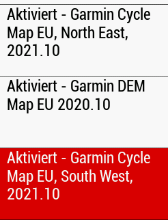
Any idea about the reason of this miscalculation?
Feedback is highly appreciated. Thanks!


