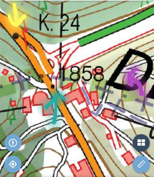
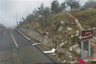
This is to show the real issue with barometric sensor within the Garmin Edge 1030 plus.
Has been discussed in several threads, also linked to the Gradient data issue. This topic is related to Elevation data itself.
This photos were taked in a ride before the climb to a mountain and at the top.
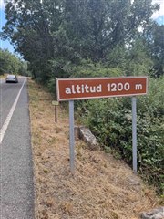
1. Photo doing calibration altitude at 1200m, both the Road Signal (altitud = altitude in english) and the Edge.
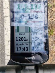
2. Photos taken at the top of the climb:

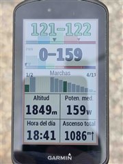
Yo can see that even calibrating it at 1.200m (I do not know why I set 1.200m and a second later shows 1.201m, but 1 meter is fine for me), at the top, 1 hour later there is a difference is 51m which is huge (Garmin 1.849m, real 1.880m). I do not have the Garmin Edge 1030 yet, but I can ensure you is much more precise, within a range of 1-2 meters, and has been spot on on this matter for 2,5 years with me.
Please Garmin, Solve whatever issue this model have with Altitude.


