This is a suggestion for all watches with pool swim metrics.
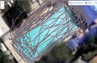
When Pool swim activity is being used the GPS is turned off.
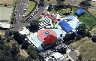
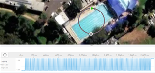
A simply way to introduce GPS data is to have a default GPS location for the Pool & actually 2 points one at each end of the pool.
this could easily done in the connect garmin phone app, from there choosing the start point and from that another point and that is only to calculate the direction so when the user chooses the lane distance in the watch 25m, 50m the end coordinates can be calculated, a set of coordinates could be precalculated.