Which is the best program for route planning?
Which is the best program for route planning?
I’ve tried a bunch of options. Let me give you a few:
iOS
You can draw routes freehand if you turn off Auto-Pilot.

I find for freehand, Garmin Connect's own site is pretty good.
HESHER Thanks for the tip on Footpath. Not seen it before, but it's excellent!
Matej787
I've been playing with PlotARoute for off road
As well as being able to plan a route by tracing over the satellite map, switching off toggle follow - for each of those steps you can add custom TBT directions, add labels on the map (such as aid stations/gates/hazards etc).
The downside is that the way to keep them is to download the FIT file, and copy it to /GARMIN/NEWFILES by cable.
Going to test today but of the custom TBT works I've a new favourite!
i now created the route, but how i transfer it to my watch?
and i want that my watch navigate me on this route, how can i do that?
Best way (and is a little fiddly) is to download the FIT file from PlotAroute. Then connect your watch to the computer and copy it to /GARMIn/NEWFILES (for now, manually copying works best) - though for android users apparently GIMPORTER on the CIQ store will do it wirelessly
Disconnect your watch, then go to start the activity (run/hike whatever)
When the options screen comes up in the top of the watch - press up to get a menu
Select COURSES
Select your course
Select DO COURSE
start the activity as normal, the map screen will have a little extra.
For added info... before doing all this
you can add extra fields and datascreens for navigating courses by going to
(HOLD MIDDLE BUTTON on watch to get menu)
Scroll down to NAVIGATION
Select Data Screens
You can now add up to 4 extra data screens, with fields such as distance to destination etc, that ONLY appear when navigating a course
www.youtube.com/watch
https://www.youtube.com/watch?v=4WpuYRVfYac
https://www.youtube.com/watch?v=vUtBtPPAlMs Does a really good full walkthrough of navigation etc including datascreens :)
thank you! very helpful.
Busy,
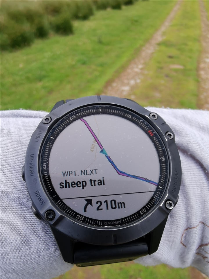
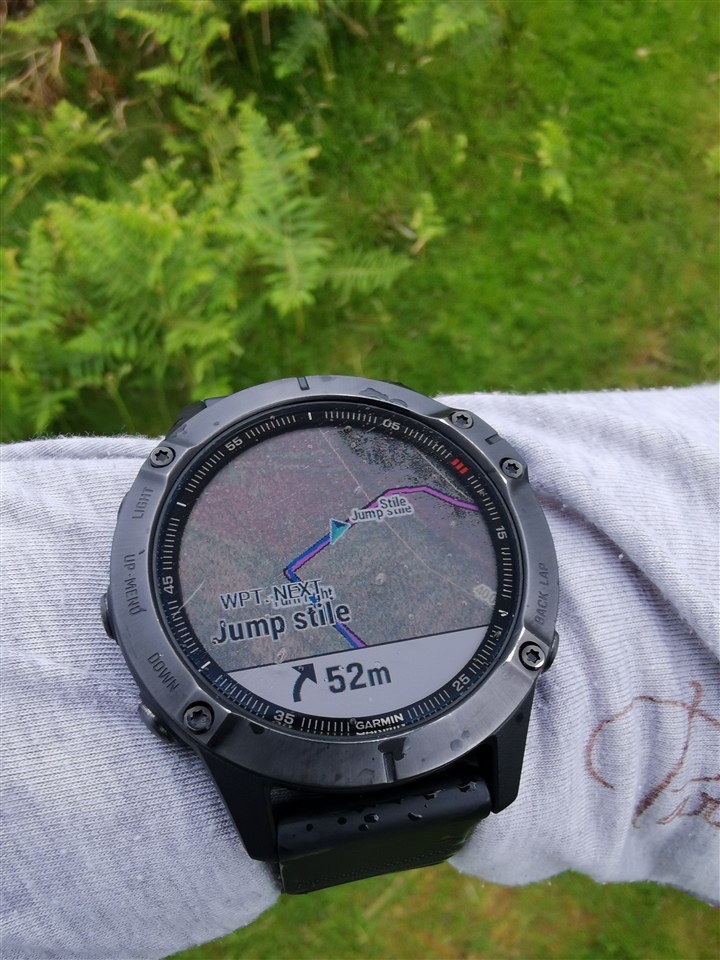
I just finished a run using the tbt. When I get home I'll upload some photos, and some thoughts. On the whole very useful indeed. PlotARoute allows you to edit the tbt directions and add little notes of text that appear on the map. Here's one quick example


And on top of the satellite imagery I use for trails is still legible
https://photos.google.com/share/AF1QipP0iYLKrwOyQyQhmKI2eInoco3rltupOWLSbdy09sYnaATqBRBPJhKJoDUwjJ5y0w?key=blVVbmItUFBKUDNSeGJ1bGdZWVlEakxhRFpmS053
That's a video I made of my datascreens while trail running....
Thoughts:
PlotARoute lets you edit the TBT directions - make them concise as you only get to see about 12 characters, although I do remember there's a CIQ datafield on the store that improves that - will check
IT also lets you ADD extra ones at any point on the route - and also ADD text onto the map, those images show the extra text in places. Very useful to supplement the TBT in places.
On the whole, definite success for me. I'll be using PlotARoute from now on, and I paid for Premium to support the good work they do!
Very nice. How did you turn on TBT? do you need to mark every turn in PlotARoute? Is tbt possible on off road? And where can you switch to satelite image?
And how it is with multiple day hiking, do you need route for every day, or you can have 1 route and continue each day?
And where can i get or switch to blue line like you have?
So many questions :)