Hey,
first of all I want to make clear what I'm meaning when im talking about Waypoints, Course Points and POIs.
I want to use Basecamp as my planning Software.
Waypoint:
Just one of the Rout-Points I need to create a Track in Basecamp. One follows the other and I get a Track with an Starting Point and a Destination. So it's just the Track I want to Hike.
So It's just part of the turn by turn navigation,

Course Points:
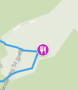
Interesting Points on the track, which I've planed. Like Houses, mountain shelter, water-points.
There are a Data-Fields on the Fenix like "Distance and Time to next Course Point". And I want to know how much distance there will be to reach the next Course Points

Custom POIs:
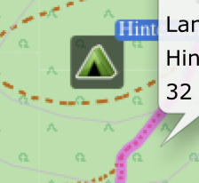
I want to great Custom POIs like camping-sites or emergency shelters in the area I'm Hiking.
So If the weather conditions changed dramatically I could navigate to that point, although it's not part of the track I planned before.

Question:
Im able to plane and transfers Routes with GC, GE or Basecamp.
But there are Features in GC which I Need in Basecamp. So How could I combine alle of these?
In GC I can add Coursepoints on Tracks which I created in Basecamp, but no custom POIs.
In Basecamp I can add Custom POIs and export it to the Watch but no Course Points.
So how can I create a Track with all of these Information an export it to the Watch?


