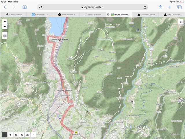
It would be great if the online route creation tool in Connect could also display other OpenStreetMaps, for example OpenCycleMaps (used by Dynamic Watch). The latter maps seem much more readable when planning an outdoor route (see attached example). In any case, having an option would be welcome. 


