This discussion has been locked.
You can no longer post new replies to this discussion. If you have a question you can start a new discussion

Feature request: alternate OSM maps

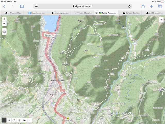
It would be great if the online route creation tool in Connect could also display other OpenStreetMaps, for example OpenCycleMaps (used by Dynamic Watch). The latter maps seem much more readable when planning an outdoor route (see attached example).  In any case, having an option would be welcome. 


  • That would be good, but don't count on that anytime soon.

    The copy of standard OSM layer is really outdated on Connect (thread), they clearly don't care about OSM.

    But you can use JOSM with downloaded GPX files, in that program you can use different layers and maps.