I am using OSM maps from http://garmin.openstreetmap.nl (openfietsmap lite).
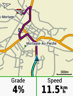
Works flawlessly, but there aren't any options to further configure the map (neither in this tool nor on the edge). My problem is that the map is very cluttered and this makes it very hard to read while on the bike. I don't need this level of detail for road cycling (all these POIs, smallest forest paths etc.).
What is the easiest way to change these settings? I already figured out that there are templates (typ-files) and there are some websites dedicated to this topic, but the whole process seems quite time-consuming. Figuring out the process, fiddling around with different tools, finding the correct map elements etc.
Any ideas?