This discussion has been locked.
You can no longer post new replies to this discussion. If you have a question you can start a new discussion

"Back to start" navigation issue

Hello,

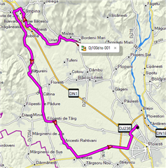
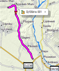
since some time, when I hit "Back to start" during a ride, the calculation is completely wrong: if there are let's say around 20-30 km back, the calculated track is sometimes more than 100 km (!!!), taking it on completely wrong direction/roads. This happens no matter if I was following a track or it was just a free ride. I remember this feature used to work as expected.

Anyone else experiencing that? I am on software 5.10.

BTW: riding a preloaded course works as expected, with turns announced and roads followed, including road names.

Top Replies

All Replies

  • I think the problem is something to do with the intersection of the DN1B and the DJ102 on the nothern outskirts of Ploiesti.  OSM has that junction tagged as a trunk road which is what your Garmin is trying to avoid I would suggest.

    Garmin Basecamp exhibits the same behaviour as the Edge.  Default avoidances for Bicycle.

    If you select a destination which avoids that junction then BaseCamp routes as you might expect.

    The only avoidance that seems to ignore that trunk is "CarPool Lanes".

    If you turn off Car Pool Lanes then BaseCamp does a weird dogleg out onto the DN1B (as does OSM Grasshopper).  Can't seen anything in the OSM data that would indicate a Car Pool Lane so I'm not sure why its avoiding this junction.

    Anyone else?

  • As I suspected, routing works fine (well, it works in BaseCamp) when using the OpenTopo Map.  Same default routing and avoidances.

    http://garmin.opentopomap.org/

    I would expect the Edge to exhibit the same behaviour as BaseCamp.  Worth a try for you?

  • Update: I installed the maps from http://garmin.openstreetmap.nl/ (generic routable new style version) and everything now works as expected (with Garmin provided maps disabled in the profile). So, it is an issue with Garmin provided maps (which are the latest version 2019.10), not with the algorithms.

    I should do the same for the MTB version of the maps - do you know about an equivalent for openstreetmap?

  • Hi .  Nice one.  Glad the OpenFiets maps worked better for you.  All of these maps in question use OSM as the base for the data.  They then apply their own rules on how to convert that raw OSM data into a Garmin IMG Map format using something like MKGMAP (https://www.mkgmap.org.uk/doc/pdf/style-manual.pdf)

    There is clearly something about that junction that is tripping up Garmin's own interpretation of the data which the OpenFiets interpretation does not.  Some of the open source map providers supply their style guides so you can see what they are doing.  Garmin does not, so we are in the dark as to what is causing the problem.

    There are a load of OSM variants for Garmin Maps.  I like the OpenTOPO maps for both road and MTB.  There is also an OpenMTBMap.  Its just a case of which you prefer.  Some of the interpretations may emphasise certain trails in a more relevant way to you that the others.

    In a perfect world the Garmin Cycle Maps would work 100% for everyone.

    If you were referring to the TrailForks maps for MTB then these are seperate and not related to OSM data.  They contain trail data from a different source.  Check out https://www.trailforks.com/ for more detail there.

    Regards, Dave.

  • Hi , thanks for the detailed explanation.

    It would be good to have a map covering both road and MTB/trails - are you saying that OpenTopo does that? Interestingly, if I compare the img file for Romania from http://garmin.openstreetmap.nl/ with the one from OpenTopo, the former is almost double the size (265 MB vs 135 MB). As I mentioned, I was not using Routable Bicycle (Openfietsmap Lite), but Generic Routable (new style) version.

  • If you take a look at their website https://opentopomap.org/#map=14/44.94156/26.00833 then thats pretty much the same as what you'll see on the edge.  Have a look around the areas you ride to see if the trails are all there in the detail you want.

    Regards, Dave.

  • Former Member
    0 Former Member over 5 years ago

    I have had the same problem. On Sunday (May31), I was about 14 miles from the start, but the function told me 4800 miles. I am using the current Garmin map. This seems to happen in the north Jersey area. When I am home, in more central, it is fine