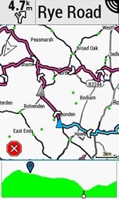
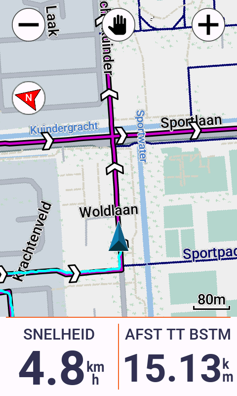
Does anyone know if you can limit the directional arrows to about 1 kilometer ahead?
They're currently spread out over the entire course, and it's difficult to choose when the course crosses over itself...
Does anyone know if you can limit the directional arrows to about 1 kilometer ahead?
They're currently spread out over the entire course, and it's difficult to choose when the course crosses over itself...
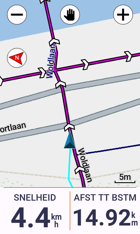
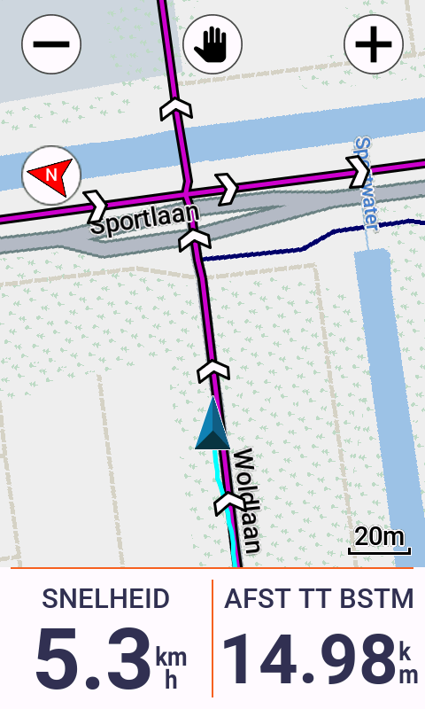
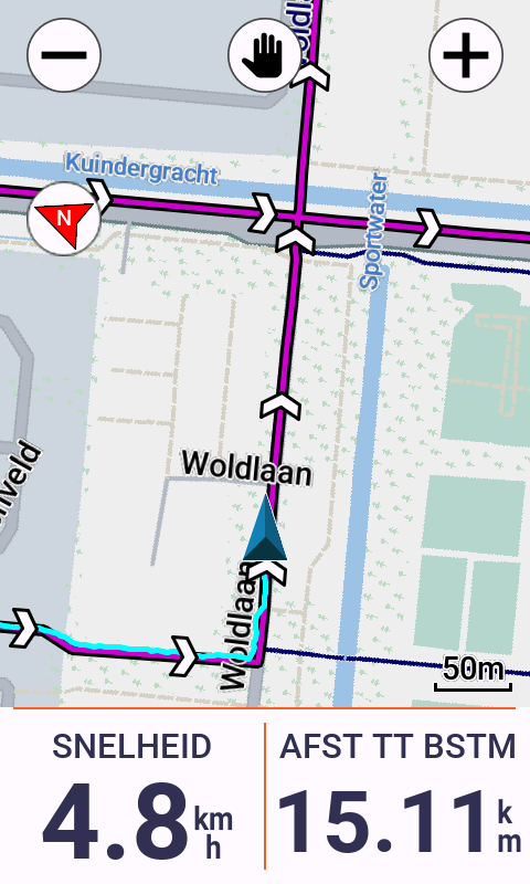
I'd say zoom in a bit more?
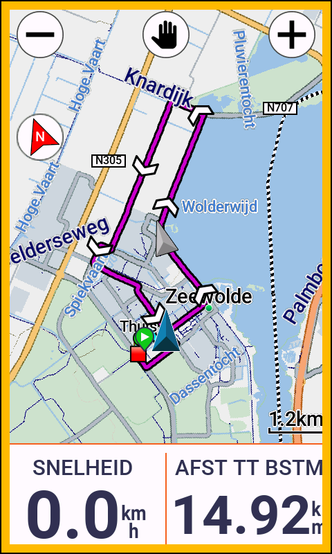
I can't tell how densely packed your roads are, but in the netherlands my only real gripe with these is it doesn't remember the level of zoom I set when I allow it to auto…
It's pretty obvious that you have to go straight ahead at the crossing...
On 1040 - very similar but not quite - it is a matter of zooming. If I follow courses that cross, I navigate at a zoom showing approx 500ft / 300m — this certainly helps by showing only the arrows on the…