Hello,
I think there are two different things I don't understand:
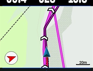
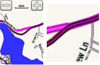
1. When I route a route created and synchronized with Komoot, I sometimes get two different route markers. One is exactly on the OSM way on the map, and a second is not exactly on the OSM map. One shows the turns, I assume that is the one routed by the device, and the other shows the direction arrows. What is or should this be?
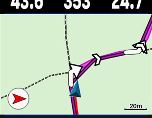
2. I'm getting ghost lines sometimes. I think this is a firmware bug, or am I wrong?