Hey guys,
i have the following problem:
i create a course/route on komoot or strava (same goes for any gpx file i import)
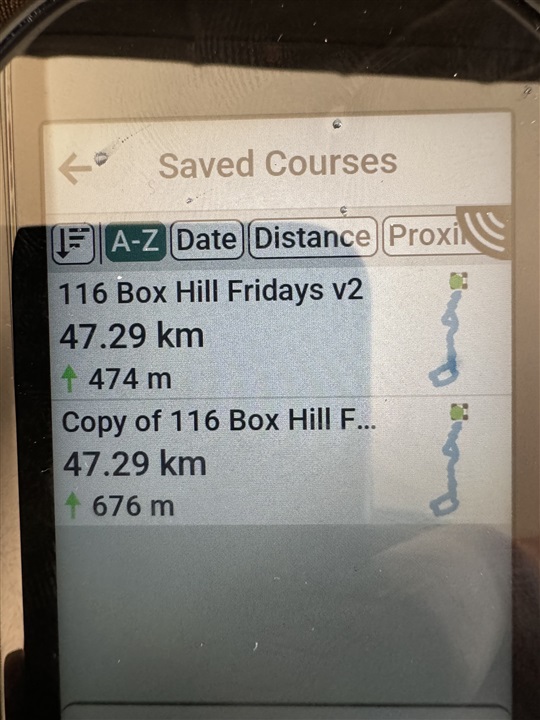
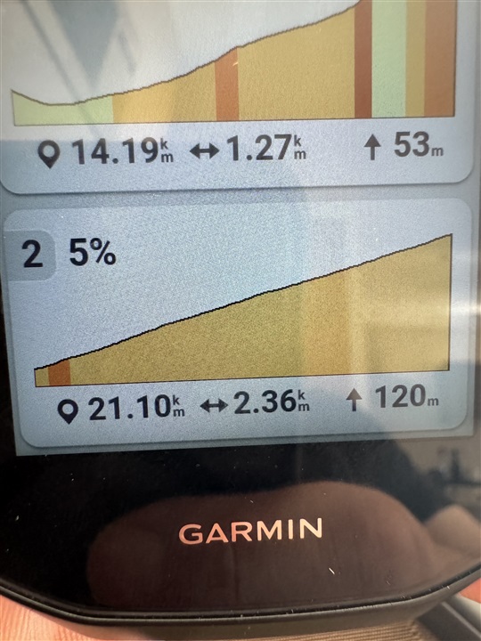
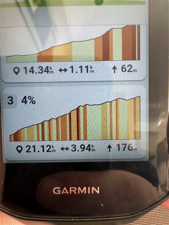
so lets take 1 example. I have a route made on komoot it shows me 1445m of elevation. Then i sync it to garmin connect and it shows me 1445m of elevation. When i sync that exact same route to my edge 1050 suddenly it shows 1885m of elevation. When i take the same route and export it to strava it shows me 1550m on strava and when i import it from there to my edge 1050 it shows way over 2000m of elevation. And while this fact is srsly annoying for the price of this device it gets even worse because due to the completely wrong elevation data on the edge, my climbs on that route and the climb pro data is basically unusable.
can anyone help me out here?


