This discussion has been locked.
You can no longer post new replies to this discussion. If you have a question you can start a new discussion

Elevation Data on Importet Routes completely off

Hey guys,

i have the following problem:

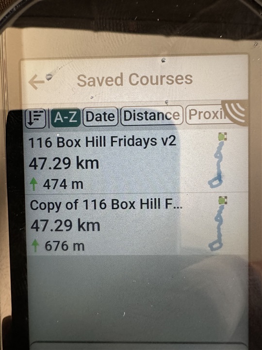
i create a course/route on komoot or strava (same goes for any gpx file i import)

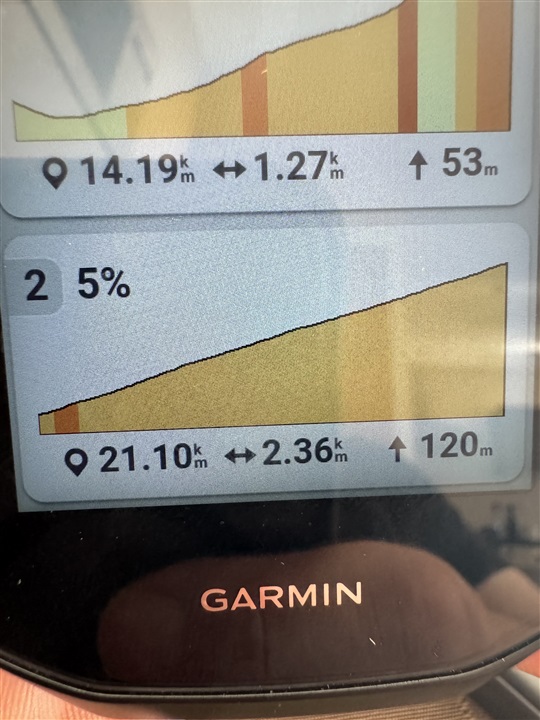
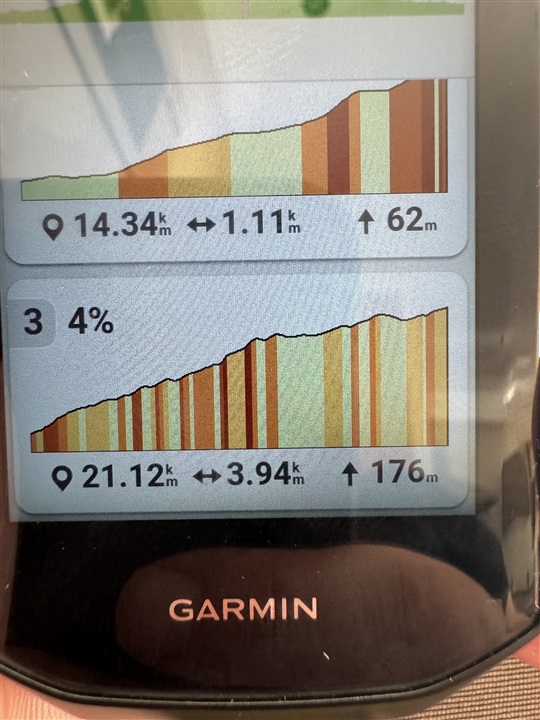
so lets take 1 example. I have a route made on komoot it shows me 1445m of elevation. Then i sync it to garmin connect and it shows me 1445m of elevation. When i sync that exact same route to my edge 1050 suddenly it shows 1885m of elevation. When i take the same route and export it to strava it shows me 1550m on strava and when i import it from there to my edge 1050 it shows way over 2000m of elevation. And while this fact is srsly annoying for the price of this device it gets even worse because due to the completely wrong elevation data on the edge, my climbs on that route and the climb pro data is basically unusable.

can anyone help me out here?

  • Try creating a copy in Garmin connect which will replace the elevation data with Garmin data and see what the result is. 
    <edit> I just tried and a 1318m ascent in Strava shows the same in Garmin connect but 1858m on the 1050. Something is broken. 

  • I just tried with a route I copied to the 1050 with earlier firmware, and maybe different maps.

    Garmin connect elevation 457m

    original copy on 1050 474m

    Same route new copy on 1050 676m.

    Definitely a bug introduced on the 1050. Mine is firmware 9.11 and cycle maps Europe 2024.10. 

  • Im really shocked how bad this is. The single most important thing of the cycling computer is not working at all. It messes up everything so badly and no response from any garmin officials.

    it also changes the climbs for me depending on what version of the same route i open on the edge the same climbs have different profiles and different lengths etc. it all is completely off.

  • Same route copied twice with different software versions  original on Garmin Connect with consistent elevation


    and the same routes on the 1050, first copied with earlier firmware and second with 9.11 showing the latest with bogus elevation. 

    now look at the profile of box hill on the two routes. The first is correct. The second an absolute mess. 


  • This is exaxtly what i was talking about. I have the same exact problem. And the messed up climbs make this so much worse for me. I have a fondo in 20days in a different country and now i have to ride blind -.-

  • So Garmin made a change this morning that should fix the issue with 3rd party courses and returns it to the way operate before the recent change. You will need to delete the course file off the Edge and resend it using either GCM or Garmin Connect.

  • Fantastic. Super quick response and looks normal again. Thanks for the update. 

  • I just tried to import the same route again and deleted the course file beforehand. now it shows 1418 in connect (which is in this example the same as in komoot) but on the edge it shows 1366 so it is still a joke in my opinion.

    i just ordered a wahoo, im fed up with this ***. million dollar company and to stupid to import routes on a 750 euro flag ship device. just a disgrace.

  • This is not an Edge issue. GC is re-computing the total ascent/descent using the data provided an coming to a different value.