Is this the only kind of map you can get on the fenix 5? i.e no geographical data or picture, just a white background. ciq.forums.garmin.com/.../1440362.jpg
So you can load (I assume gpx files) onto the watch and follow the route, even though there's no topographical detail on the screen? I've got a couple of ultra's coming up this year, so that feature could be useful if that's how it works!?
Organiser should provide gpx or tcx map of your route. You can download it with your phone and garmin connect will do the rest. Trust me when you try it you will appreciate this watch even more.
P.S. Of course be aware of GPS singal quality in woods and similar areas and that navigation it self will drain a bit more battery than usual.
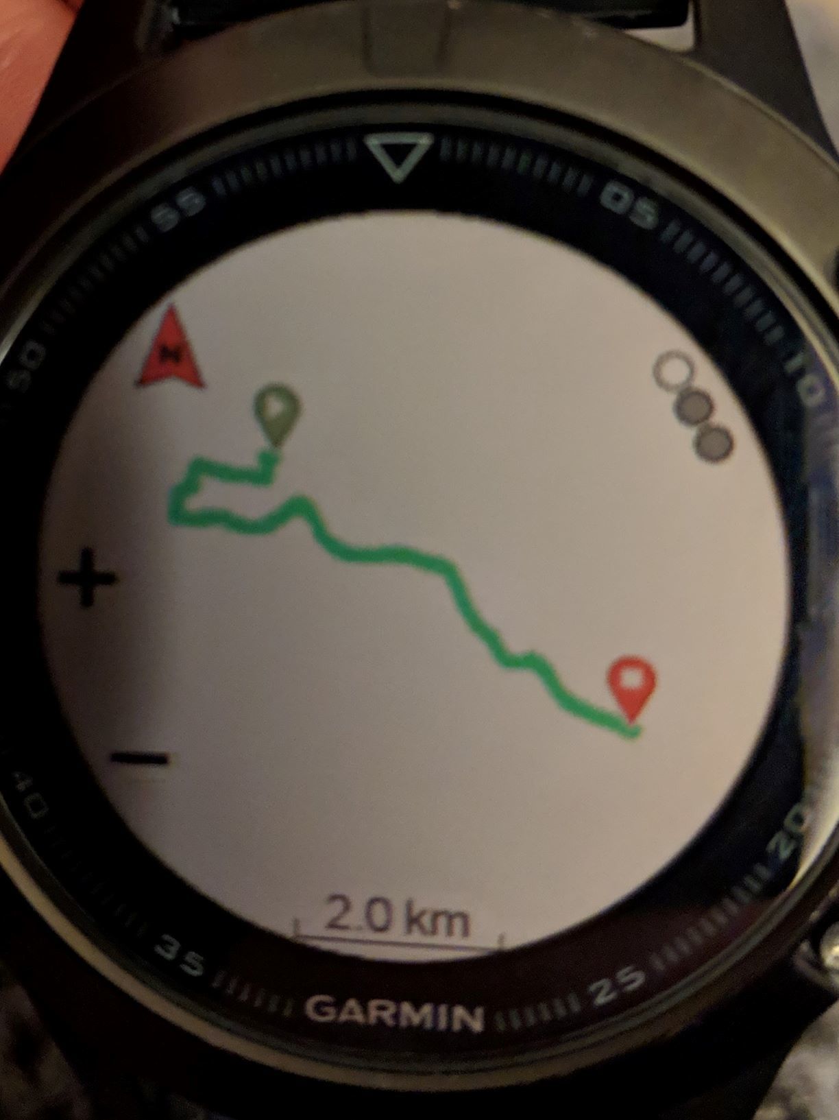
So, I've downloaded a gpx to my watch, and I can view the map. Is the only way to use the map to use it through the 'Navigate' activity type? So just a case of adding all the relevant fields that I want to see during my activity from the 'Trail Run' activity type for example to the 'Navigate' activity type, and then off I go??
So, I've downloaded a gpx to my watch, and I can view the map. Is the only way to use the map to use it through the 'Navigate' activity type? So just a case of adding all the relevant fields that I want to see during my activity from the 'Trail Run' activity type for example to the 'Navigate' activity type, and then off I go??
You can also start the activity of your choice and then (hold) MENU->Navigation->Courses to select the course you want to do under that activity. That way you het the activity screens and navigation screens.
You can also start the activity of your choice and then (hold) MENU->Navigation->Courses to select the course you want to do under that activity. That way you het the activity screens and navigation screens.
Thanks Chris, that's a great help. I look forward to testing this out at the weekend on one of my trails. I should probably get used to the feature before using it in a race!


