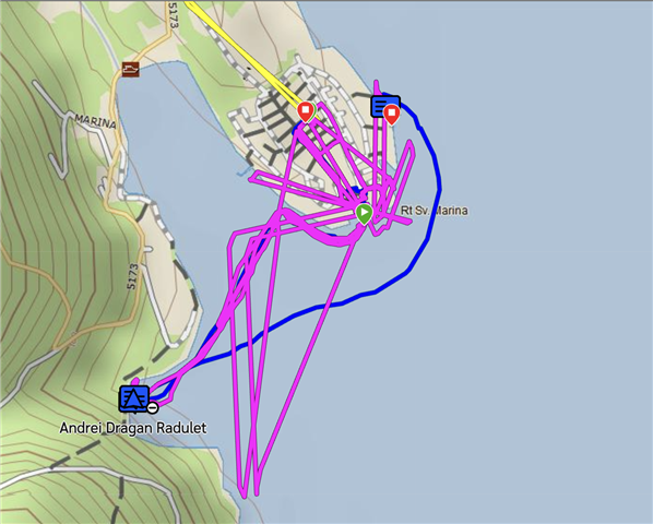
I just came from a trip to Morocco. In total 13 days of effective trekking. I discovered on the way back (unfortunately for me), that if you activate the sending of points (every 10 minutes), even if you have the detailed track activated, it really takes several points almost together every 10 minutes , making a terrible straight line between those groups of points and the next one, 10 minutes later.
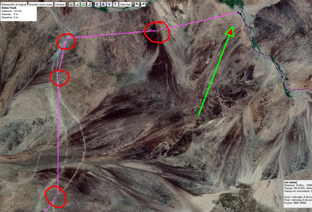
Let's see if I explain it in another way: I always deactivate the sending of points (I have the Safety plan) and activate the detailed track. That combination works perfectly and the track is very detailed and I already mentioned that it is VERY accurate (compared to my mobile).
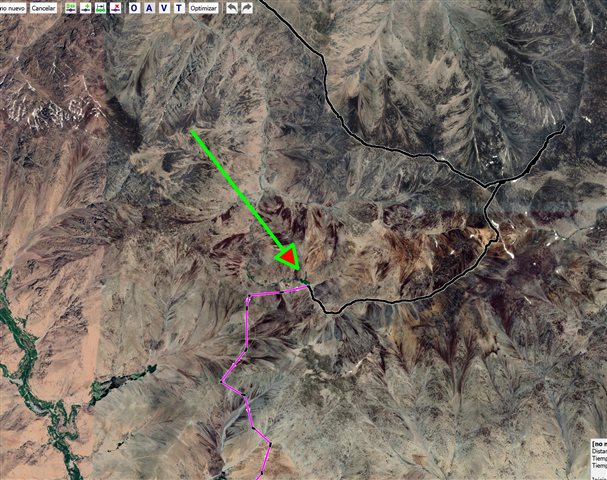
For this trip, I upgraded the contract to Recreation (good experience changing the plan within the contract). Since they were free, after a few days of trekking, I decided to set sending points every 10 minutes (while keeping the detailed track). My unpleasant surprise on the way back is that, from that moment on, there is no longer a detailed track, but straight lines that join points separated by 10 minutes of walking.
I think it's a Garmin bug. I add that I am a technological person very used to handling maps, tracks, etc. In fact, I am an editor of OpenStreetMap and with those detailed tracks I wanted to introduce new data and corrections in those Moroccan routes (Toubkal and Mgoun).
As for the rest of the experience with the Mini 2, wonderful. All the messages were sent, received, even in the Mgoun canyon, with very, very deep areas... it gives a lot of peace of mind to go through those areas without coverage.


