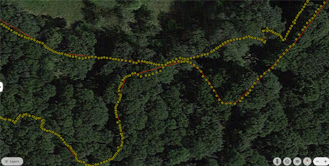
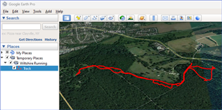
When I export a track from Garmin Connect to KML and then import it to Google Earth I lose a lot of detail. The track becomes a series of straight lines. If I export to GPX and import the GPX file to Google Earth, I get full resolution. Is there any way of increasing the resolution of the KML file or is this built into the Connect software?


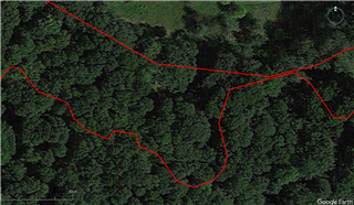 with the original FIT file but rather with the way the file is converted to KML in the export routine.