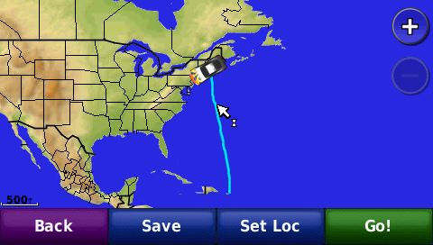
I have been using a Garmin nuvi 205W and so far happy with it. Yesterday I used it to track a flight from San Juan, PR to Boston, MA and for some reason I can only see the beginning and end of the flight and not the entire trip in BaseCamp. I lost satellite reception like three times during the flight but only briefly. The parts I am able to see are the part during departure into like 360 miles into the flight and then the initial approach about 60 miles before landing all the way to landing. However, the entire flight track is visible in the Garmin unit itself so I know it was recorded. There are only small gaps in the places where I lost signal. All that is missing from BaseCamp is over the Atlantic Ocean far from land. Attached is a screen capture of what my unit shows with the map zoomed out enough.
How can I view the entire trip in BaseCamp or Google Earth (which by the way shows the same thing)?
Thanks in advance.