

Using RidewithGPS - which is the best file format to use - GPX or TCX to provide TBT navigation?
What are the pros and cons of GPX vs TCX?
"Turn guidance" always requires some degree of calculation (the "turn guidance" is generated by the device).
The main thing that makes the 520+ different from the 520 is the + can use routing information in the map.
Try disabling the map.
This should make the unit do less calculating (maybe, the result will be useful).
(I think the base 520 can do a "light" version of "turn guidance".)
Are there non routable maps availible for the edge 520 plus?
1. Generate routes on osmand+ (android) on my phone, export them to gpx.
2. Translate the gpx to fit and send them with bluetooth, the iq connect app Navmin is aible to do both.
This gives me courses with turnbyturn info including streetnames who I can generate without internet. This works very well on the 520, the only thing is I like to have some map on the background.
Not sure. I think there are ways of removing the routing data part from the file.
The idea is to see if the "turn guidance" does anything useful without a map.
OK. The GPX file doesn't contain "course points" (those are a feature of TCX files).
Note that GPX files are just text.
So, it appears that the Osmand GPX files contain turn information (as waypoints, presumably) and the Navmin app is converting those waypoints into "course points" (in the TCX or FIT file).
https://forums.garmin.com/forum/deve...32#post1337232
The units have two types of turn-by-turn info:
1- "turn guidance" -> calculated by the device using the map routing information based on just the track points. The list of turns for this are displayed by clicking on the text at the top of the map page.
2- "course points" -> these are things like waypoints embedded in the TCX (or FIT) file by the route planner. These have a small icon and a short bit of text (the amount of text is about 12 characters). The "course points" should be visible on a separate page.
I think what you are talking about is "course points".
But my point is, the edge 520 use these course points as it base for the turn guidance (like a wahoo).
The 520 plus only handle course points like.... course points ????.

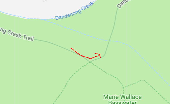
On RidewithGPS i have dropped the pin right after the turn ...
...and there's cues generated that says Left but when i'm riding it the turn notification doesn't turn up.
What else can i do to make sure that the turn notification will pop up for that turn?
The base 520 is an odd case. It displays maps but doesn't use the maps for routing. I think it might do some sort of "angle detection" on the route to provide turn instructions.
No the turn instructions are prepared inside Garmin connect.
When you transform the route fit file to a csv file you while find these turn instructions.
I think these instructions are poor and not accurate.
The combination of apps I talked about generates better turn instructions with better information (for example streetnames).
