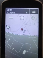
1) Anyone else not have contour lines in the map display of the new firmware? I'm using the same base maps that garmin provides which rendered contour lines before.
2) The new elevation profile on the map screen. Unless I zoom out much farther then I want for riding the profile looks basically flat with maybe a light one pixel slant to the line if its steep. The elevation screen does show changes in elevation so the data is in the courses (loaded from Ride w/ GPS) Is the y axis set to the min and max for displaying the whole ride so if you zoom in the y axis never changes so doesn't give a detailed enough view