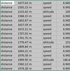
I was riding a course I created in Garmin Connect and downloaded to my Edge. Got this very strange elevation graph. What the heck is this? Has anyone else seen this? See video below.
My Edge is on software version 5.50.
I was riding a course I created in Garmin Connect and downloaded to my Edge. Got this very strange elevation graph. What the heck is this? Has anyone else seen this? See video below.
My Edge is on software version 5.50.
On the Strava course integration issue, this came up on another thread.
If you use the Strava Route App then the course file you get has elevation data provided by Strava.
With the new course integration…
The elevation profile when following a course has been just about completely wrong for me for the last few weeks. Right around the time I downloaded 5.50.. It'll show me coming up on a descent when I'm…
If you are using Strava courses it may have changed due to the new course integration. Currently the integration causes the courses to switch from using Strava elevation data to using Garmin Connect elevation…