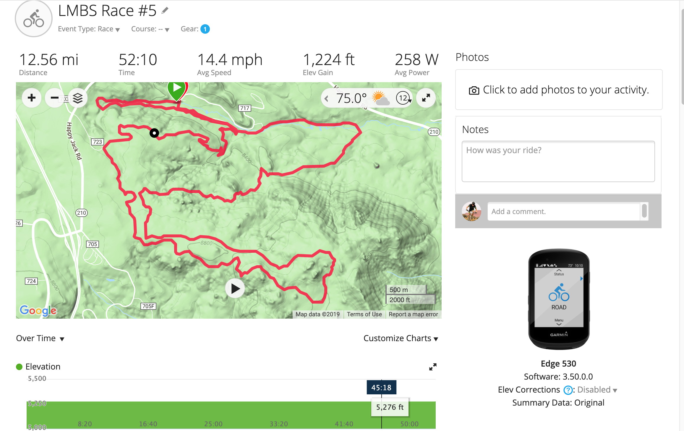
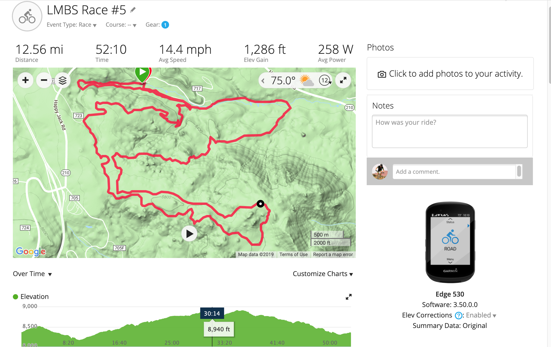
I recently noticed that on Garmin Connect, TrainingPeaks, & Strava, my elevation plots are completely flat, indicating that I was at 5,276ft for the entirety of the ride. However, my total ascent/descent numbers are not only being recorded but appear to be accurate, as they change very little (<5%) if I use the 'correct elevation' function in either , for example, and that then also fixes the elevation plot.
Curious to know if anyone else has seen this problem or knows what may be causing it. I attached two Garmin Connect screenshots from yesterday's ride, the first with the original elevation plot, and the second with it corrected.
Thanks!