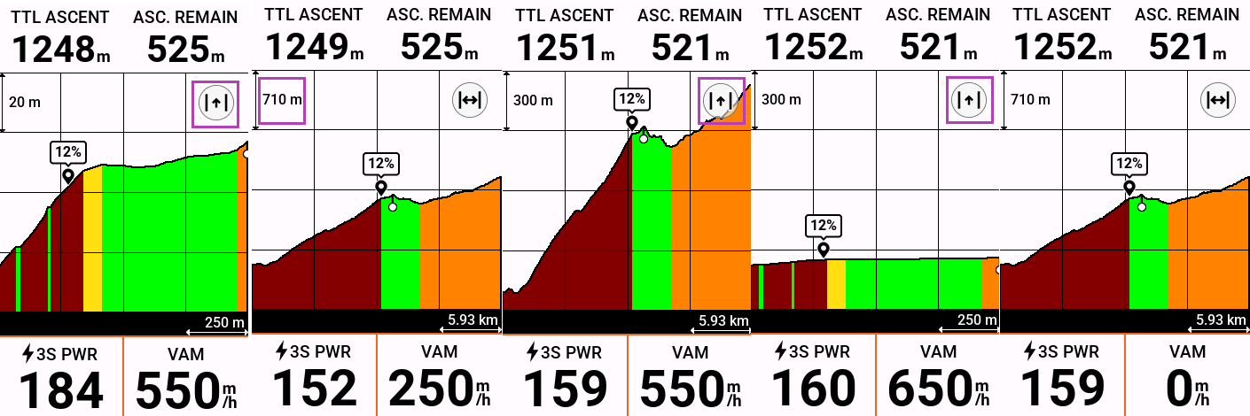
The elevation toggle button is handy, but the scaling for the Y-axis is always too big. Why isn't the behavior the same as the X-axis? One can zoom in on the Y-axis to get the full course zoom level to look reasonable, but then this Y-axis scale persists when zooming back in! Even worse, this Y-axis scale is then lost when returning to the full course zoom!