This discussion has been locked.
You can no longer post new replies to this discussion. If you have a question you can start a new discussion

RWGPS + poi's - Last workaround now blocked by Garmin

Every few months I check forums to see if there is a fix for transferring routes (WITH POI's) to Garmin Edge devices for long bike routes with fueling / restroom / etc stops.

Garmin Connect boasts that this is possible by uploading GPX and TCX files. For as long as Garmin Connect has existed, this function has just simply not worked for getting ridewithgps + poi's.

This past year someone discovered they could use the Garmin Training Center app to create a TCX file from an exported that Garmin Connect would allow to be imported.

  • That was a few months back earlier this year.

  • Since then, Garmin has deleted that app from their site.

    • I found another site that still hosted it and I was able to download and install.

      • After installing, the app says it is not usable anymore due to software updates being needed.

Questions

  1. Does anyone out there have a new workaround for getting poi's to Garmin from Ridewithgps?

  2. Is there a streamline way to transfer Google.com/mymaps tracks + poi's to Garmin? I know you can install poi's into your devices through KML conversion but I have yet to see a track + poi to Garmin Connect.

    1. Adding poi's directly into device as opposed to Garmin Connect: https://www.youtube.com/watch?v=g1xx46A7T_A&t=110s

    2. Sample Map: https://www.google.com/maps/d/viewer?mid=13ESGNkYp2C6TlNMGuJM7P8yC97lY1NFf&ll=43.750674550515384%2C7.392536649999983&z=12

  • Have you tried with Basecamp?

  • So I've been using this method but it doesn't transfer poi's. Just the route / track. 

  • Not yet! but excellent lead and quite the rabbit hole.

    Downloaded Basecamp which required me to Download Garmin Express. Then I had to update my maps. Then my route was in Europe for a trip so I had to download those maps. The file was too big to have both Seattle and Nice because you can only download all of north and Central America or all of Europe. So I had to delete all of my American maps. Then I downloaded all the European maps onto my device. 

    There. Now I had Basecamp, Garmin Express AND all updated maps for the region of my route.

    I then downloaded a GPX route from ridewithgps and its poi's.

    I dragged that over to Basecamp (You have to have selected "My Collections" or it won't take it)

    The map loaded! hooray! The poi's came over, but with a caveat: They came over as plain waypoint dots. So I then had to go in and still customize all the waypoints into distinguishable poi's like fountain or cafe or summit.

    That was a lengthy exercise which took about 4 hours but I think it was worth it just to know this method exists and be aware of its capabilities and limitations. 

    In the end, I think it's much easier to load the route from Ridewithgps into Garmin Connect and then add my own poi's all over again.

    Ultimately what this means is I'm selling my Garmin. My Karoo 2 takes ridewithgps and its poi's in a second. Also Kamoot and other third party map apps.

    Also when you chase down one of the poi's on the Karoo it will not only keep your original route but much more easily route you back to the route in an efficient and distinguishable manor so I know I'm being rerouted to the course and not have my entire course either dropped or changed dramatically.

    It's unfortunate as the Edge 1040 does a lot of things I do like. Their climbing feature is a little more accurate and reliable or giving me the full extent of what I'm climbing where as Karoo will say it's a 2 mile climb and 5 miles later still at 7 percent we're still climbing. That and the extra extra long life battery were the biggest motivators for me to wanting to make the Garmin work out for me. After my last bike trip that had route loading issues for the first 2 days leading us to just explore some awful routes plus this is my last straw. 

    Hope this gets better, I genuinely do.

  • I usually use these methods
    1. Use Cuesheet instead of POI in RWGPS

    2. Download "SendPoints":
    apps.garmin.com/.../56f97bdb-0faf-43d8-9b0f-98081ec9a648
    Send POI using URL: https://www.sendpoints.us/

    3. Download "GrouteLoader"
    Send POI using URL: https://www.sendpoints.us/

  • "Use Cuesheet instead of POI" might actually be the best suggestion. Thank you!  In the future when building my own routes, instead of nice symbolic icons (poi's) I can create a "custom cue" and even specify "Type" to be food or water.  

    Great thinking! Thank you!

  • There are three types of "points". The following list is what Garmin calls them on the Edges. These words might not have the same meaning in other places (like RWGPS). 

    1. Locations
    2. Points of interest
    3. Course points

    1- Locations are points you can save on the device. You can also add them to the device's locations list using GPX files containing waypoints.

    2-  Points of interest. There are two types of these in Edge land: 1- the geocoded addresses for various things included in map files; 2- points listed in GPI files. There are ways of creating the GPI files but it doesn't appear the 1040 supports them (the 1030+ does).

    RWGPS has "POIs" but these are not the same thing!

    3- Course points are a feature of TCX or FIT files. These are special/notable points along the track. RWGPS calls these "cues". RWGPS add them for turn instructions but you can also add "custom" ones. You need a RWGPS subscription to add custom cues.

    Selecting the type means they will show up with meaningful icons on the Edge. There is a limited number of different cues/course points.

    Course points have to be on the track.

    The course points in the file will show up in the course points page on the Edge. If you have enabled course points for the course. They show up as magenta icons on the map and, when you reach them, you'll get a pop-up message.

    --------------------------------------------------------

    The RWGPS POIs show up as locations on the Edges. The only way you get them is exporting as a GPX and selecting "Include POI as waypoints". You'll also get the track as a course. Note that you can also select "Include cues as waypoints" but this means these will show up as locations too (which you probably don't want).

    If you want both the RWGPS POIs for places off the track AND you want course points, you'll have to:

    1. load the GPX with "include POIs" file to the Edge first.  Do not check "include waypoints".
    2. load the TCX/FIT file to the Edge second .

    Important: you need to restarting the device after each step.

    --------------------------------------------------------

    Fundamentally, these three things are flavors of the same thing but being clear about how they are different is important in getting them to work.

    --------------------------------------------------------

    Another way of adding locations is to use my GRouteLoader program for Windows.

    https://sites.google.com/view/grouteloader/grouteloader

    This lets you drop URLs that have coordinates in them to create GPX files that you can then copy to your device.

    The program can also read the locations file from the device and split out the locations as individual GPX files.

  • Garmin Connect boasts that this is possible by uploading GPX and TCX files. For as long as Garmin Connect has existed, this function has just simply not worked for getting ridewithgps + poi's.

    Where does Garmin make this "boast"?

    Anyway, this is really an issue on RWGPS. 

    To get RWGPS POIs onto the Edges, you have to export the file as GPX track and select "Include POI as waypoints". You'll also get the GPX track as a course on the Edge.

  • Hello all,

    Kevin here from Ride with GPS. Just wanted to hop in and confirm a couple things already mentioned in this post, and hopefully clear up any remaining confusion.

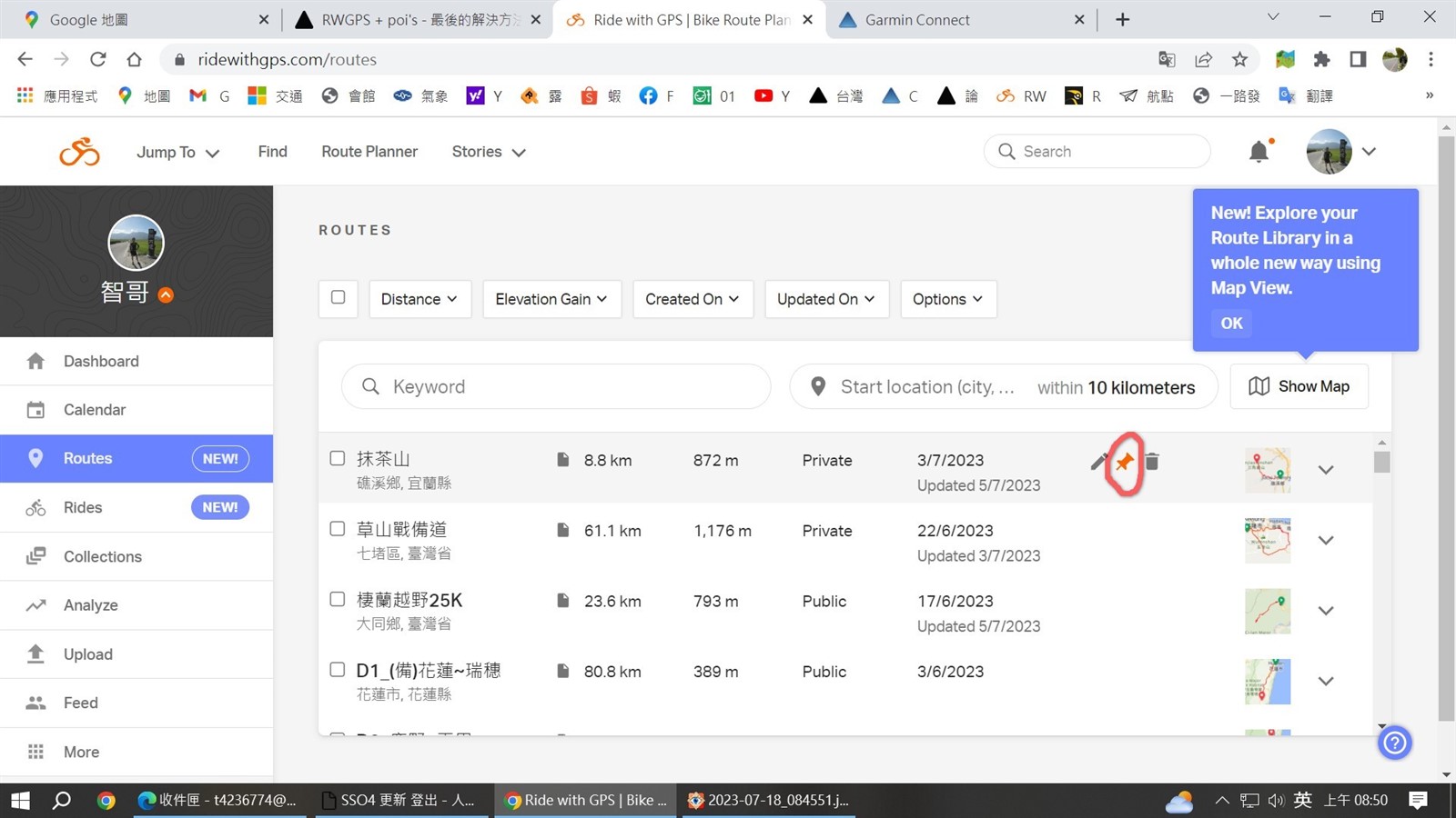
    1. Yes, you can get POIs onto your Garmin by manually exporting a GPX file with "Include POIs as Waypoints" checked, and then drag/drop into your New Files folder on the Garmin.

    2. You can get POIs along with the trackline AND cuesheet. To do this, first do step #1 above and import the GPX file with POIs onto your Garmin. Second, export a .TCX file for the same route and import onto your Garmin. Doing those 2 things in that order should leave you with all the info/data associated with a route file that has POIs and a cuesheet. 

    That's the order of operations using multiple file types for a route that has the same name. If you rename the route at some point and the names are different in the first 13 characters, then the order you import the files won't matter as they won't overwrite each other. 

    Any additional questions please reach out to [email protected] Always happy to help!

    Cheers,

    Kevin

  • I mentioned that you can get all three things and the necessary order of loading the two files (but it might not have been that clear).

    If you want both the RWGPS POIs for places off the track AND the course points, you'll have to:

    1. Load the GPX track with "include POIs" file to the Edge first.  Do not check "include cues as waypoints ".
    2. Restart the device. (This loads the POIs and the track.)
    3. load the TCX or FIT file to the Edge. (Either type will work.) 
    4. Restart the device. (This loads the course points and the track again.)

    (If you copy the two files at the same time, there's no guarantee that the files will be processed in the correct order.)