This discussion has been locked.
You can no longer post new replies to this discussion. If you have a question you can start a new discussion

Routing problems

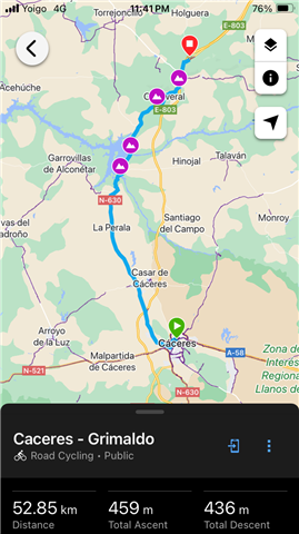
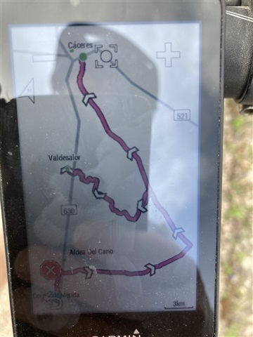
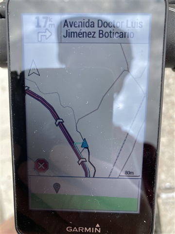
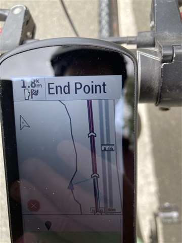
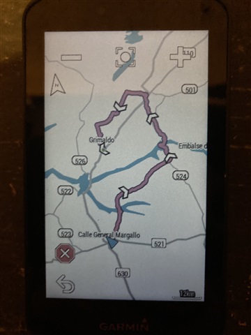
My Edge 1030+ avoids obvious direct routes, even though other Garmin bike users I’ve met don’t have this problem on the same routes. But it chooses the right (direct) routes if creating course on the Connect app. I’ve toggled all the Avoidance settings, set to Minimum Distance, even added WayPoints. Any ideas? The Garmin Help Chat guy suggested just continuing to create the course in the app and transferring it, but it takes ages and of course I need to use mobile data and I’m abroad. Specific example today is going from Caceres to Grimaldo in Spain. My Garmin just avoids the N630, but the app doesn’t. The third photo here shows when I tried adding a Way Point.. 
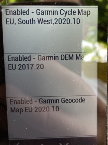
  • What version of map do you have for this area?

    It looks like that map has defined trunk roads as not being allowed for cycling and is therefore avoiding them.

  • Thanks mate. That makes perfect sense. Where do I find out what map version it’s using? The About section says software version is 6.75.

    Ive noticed it does everything to avoid the N630, even when I’m on it. It corrects the satnav to locate me on any road nearby.

  • Those maps are pretty old. I think the issue you are seeing is fixed in the EU 2024.10 release.

    Using Garmin Express on PC/Mac to update the maps.

  • Ive noticed it does everything to avoid the N630, even when I’m on it. It corrects the satnav to locate me on any road nearby.

    The correction is a result of “lock on road” enabled. The trunk road is basically missing on your map and “lock on road” draws the cursor on the nearest road.

    If you disable “lock on road”, the cursor will be drawn at your real location (at the head of the cyan/light-blue line).

    “Lock on road” has no affect on navigation. It only changes where the cursor is drawn.

    I’d recommend disabling it (it’s more of an automobile thing).

    NOTE: I’m only talking about what is going-on with the cursor. 

  • The EU maps had a problem where trunk roads were defined as not accessible by a bicycle. This was changed in the 2024.10 update. So hopefully once the maps are updated the routing works as expected. 

  • Yes, that explains the routing problem. Basically, it’s as if the trunk road doesn’t exist on the map (the routing layer, specifically).

    But the cursor not being drawn at the actual coordinates (at the head of the blue line) and on another road is “lock on road”.

    Updating the maps will allow the cursor to lock on to the trunk route (so, things will look more like what is expected when the maps are updated).

    I’m making a different/separate point: there isn’t any need for using “lock on road” (the OP has it set).

    One problem with “lock on road” is many people think it “does something” (that it’s necessary or useful). The option doesn’t do anything beyond changing where the cursor is drawn (it doesn’t affect navigation at all).

    (Of course, people can do what they want but the should understand what this option does. Especially, if they have it enabled.)

  • The lock on road is really a throw back to days when GPS was not as accurate as it is now and is an option that likely should be removed.

  • Interesting.

    I think automotive GPS units do it.

    The iPhone does (did?) it in some situations.