• RE: Downloaded courses not appearing on watch

    The Approach S62 has preloaded golf course mapping for all worldwide regions. The courses cannot be individually downloaded from the Garmin Golf app to preview as you must be located at the course and outside with the sky above you, and the watch will…

  • RE: Instinct - no elevation chart after upgrading to version 6.60

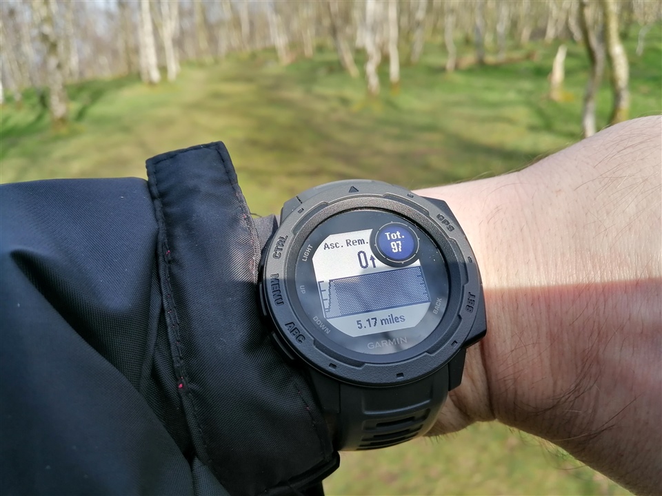
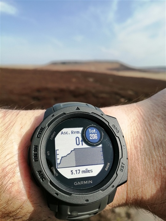
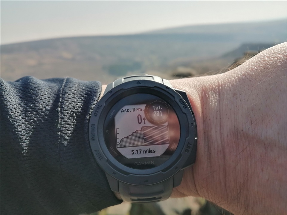
    It's the elevation preview when following a course/route. It is meant to show you a graph showing ascent remaining, yet it say 0 ascent remaining and is just a flat graph until you walk the route and then it works the same as the elevation map.

  • RE: eleavtion data

    Former Member
    Former Member
    Am I correct in understanding that these are elevation data sets projected on an existing map? Are these based on DEM or contours?


    TopoFusion has many options including straight DEM and it gives a preview of what the gain will be for each possibility.
  • Feature requests

    Former Member
    Former Member
    1. Allow for actual thumbnail of course map when sharing to Facebook.

    2. Allow for upload of gear photo and manual editing of distance traveled and notes.

    3. Add challenges for stairs and elevation gain.

    4. Allow for chat with connections and…
  • Continued usability issues with Courses page

    For some reason the thread has just been closed when the only "fix" I've seen deployed is restoring the ability to right click open in new tab from the list.

    Issues I still have versus the previous iteration:

    • Can't right click open in new…
  • RE: UTM displayed

    Former Member
    Former Member
    Yes it is possible but the grid lines themselves are very faint. You will have to darken them yourself after printing.
    These are steps using Windows so Mac will be somewhat different.
    Start here : Edit > Options > Measurements > Position > Grid > UTM >…
  • Geotagged Photos auto created on upgrade

    Former Member
    Former Member
    I recently upgraded to 4.0.1 and I was really surprised and unhappy that it converted all the waypoints with pics to geotagged photos. The main problem I have is that I was using the first waypoint to mark the trailhead and store all sorts of information…
  • RE: Missing elevation on course import

    RWGPS tcx files don't allow preview of elevation profile but by running the tcx into BikeRouteToaster it changes all the altitude numbers to whole integers. Upload this file and it will show up. However, I just found that if you use BRT to correct the…
  • MapView and MapTrackView question

    Hi

    I want to ask a couple of questions about the behavior of MapView and MapTrackView.

    I've searched the topics on the forum and there are some things written about MapView already, but none of them actually solves my issues.

    1) setScreenVisible area…

  • RE: Newbie 101 Questions

    Former Member
    Former Member
    thanks for reply. the facebook functionality is not nearly as good as it could be...

    i think nikeplus is the gold standard which is a shame because the Garmin 305 is SUCH a better product and yet there's no online community to support it. The online…