GPS measurement distance for Golf, wrong, by 10 meters, help

Hello, I have an issue with using the Garmin 7 SS on a golf course, as the GPS measurement is 10 meters off.
I did a full factory resent, but the issue isn't solved. As I 'm not able to test on golf course, I tested calibration.

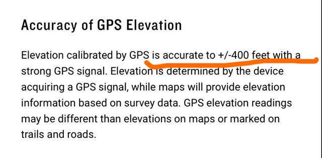
I am on 8 meters high flat terrain, GPS measures -2, but DEM says 9 meters. Is that proof, that GPS is still not correct?

Kind regards, Marleen

  • So, I cannot use it to see if GPS distance is correct. On a 2013 Bushnell it is correct in golf game, so Fenix 7 shouldals be able to display correct distance...

  • Not completely clear if you are talking about elevation or distance (to the hole?) or a mixture. GPS accuracy (and I won't worry about using all the correct GPS terms) will vary minute by minute depending on Satellite views, tree coverage etc.  With the latest chips and satellite systems it is getting much more accurate, but you can likely expect a 2m horizontal "accuracy" in good conditions that will vary (can be be better, can be worse - you don't know).  Due to the physics involved, the vertical accuracy can easily be 2-3 times worse and will also change.

    DEM data can come from lots of sources that will vary in accuracy and resolution - plus you still need to know your location to reference the DEM data.  I won't get into how different methods are used to deal with the earth's shape. It can get really complex especially when using a small wrist worn device.  Calibrating anything is assuming you know the accurate value and are setting a sensor to that value so, again, a reliance on a good starting point. Also note that calibrating the altitude does not change the GPS in any way.  Default for your watch is using the barometric elevation which is calibrated to a "known" value (GPS, manual, DEM) then is very good at showing changes in elevation until weather (air pressure) changes cause a drift - then you need to calibrate again. Next best is generally DEM data based on your GPS location (as this removes the higher error of vertical GPS values), All of these have a bunch of factors that impact the accuracy.

    So to get the distance to the hole, the watch needs to know where you are (GPS with +-couple of metres) and where the hole is (based on data provided about the course. For elevation difference it needs to know the current location elevation (with all the caveats mentioned) and the provided hole elevation.

    Your old Bushnell is a range finder that directly measures the distance to something you point at.  It will also provide the elevation difference (not actual elevation) by knowing the angle and the distance. Even the expensive models provide an accuracy of +/- 1 yard!  If you really need better data, you need a range finder, On the other hand, is it worth the cost?  Guess that depends on how well you golf.

  • Hello, Thank you for the info;  I'm overal testing GPS but the issue is distance as I use it for Golf, and on flat open terrain, it is 10m off.
    The bushnell is a watch, als operates with GPS, and maps. We' ve put the two watches on the 50meters indication on the golf coure (the blue mark). Bushneel measured around 50 and Garmin 67 meters. 
    Well that's no what I expect from a brandnew Garmin 7S Saphire watch. 

  • I/you do not know (from your description) if this is GPS related or the golf course info being used by the two systems being different. GPS measures location not distance to something as that is a map or database issue.  Take the location data for a known position (road intersection for example) or route from both devices and then save the results or put in to Google earth to compare.  Unless there is an issue with your watch (unlikely) then the 7ss is a fairly good accurate watch (don’t believe it has the dual freq but still good).  This is more likely an issue with what each is measuring to (the golf course database source).