TOPO 24K

Former Member
Former Member

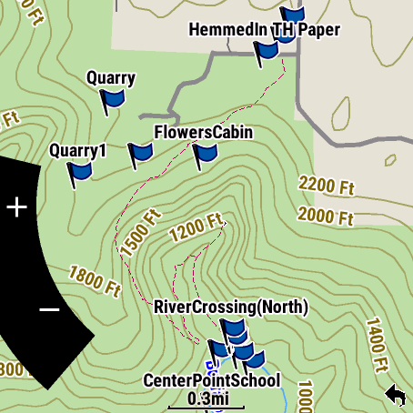
Looking at the Northeast 24K TOPO maps that are $99. I would like to have native Garmin TOPO maps if they are worth the cost. Will I get a more micro view of the terrain that includes trails that are not state trails?

I am assuming my Tactix 7 Pro has the 100K TOPO maps and I do see I wish contour lines were a bit more frequent especially up in the White Mountains area as I am currently working on the 48 4k footers around there.

Any feedback on the 24K on a watch would be appreciated.

  • I have purchased the individual 24K TOPOs as I visit a region for my GPSMap64.  I've thought about purchasing for my f7X, but resisted for a couple reasons.  1) I tend to update my watch on a somewhat regular basis and don't want to invest hundreds more for maps each time.  2) The screen on my 64 is so much bigger than the fenix (even the X) that it just makes more sense for that device instead of the watch.  

    Below are two screenshots of the same area that I recently hiked.  Left if the f7X with the standard TopoActive maps, right the 64 w/ 24K map.  Obviously, the 24K has much more Topo resolution.  I'm just not sure how cluttered the watch view would be for the same view.

    I don't have any evidence that you get more information (like more trails) with the 24K than the TopoActive, just more contour lines.  Others can chime in if their experience is different.


  • Dan_S makes a solid point. I would add, if you are a Hiker/Hunter etc, use our Explore APP. Download all the different types of maps for your region to your smartphone. Regardless of cellular service when out remotely using your Tactix 7 Pro watch, your phone will act as a computer to show your location on those downloaded maps within the Explore APP. It has worked well for me regardless of what series watch I am wearing at the time. Especially if I wear one of our watches with mapping not on it such as our Instinct series watch.

  • I always forget about Explore as a nav aid.  I use it extensively to organize collections of waypoints and courses, mostly for hiking in different parks.

  • The Explore APP is more-or-less a best kept secret likely being underused. It is certainly nice to have on your smartphone as an additional resource. I try to always mention it when I am interacting with anyone that mentions hiking, hunting, remote camping, fishing, ultrarunning etc.

  • Former Member
    0 Former Member over 2 years ago in reply to Garmin - Chris

    So does the Explore App when on the phone display the TOPO to the watch or are we just talking in terms of using the phone stand-alone with the Explore App and not figuring in a watch at all?

  • The Explore APP will give your GPS position on the different maps downloaded. You can switch between the different maps if you have downloaded the different versions available for your area. It can be used for other features too such as saving a location in the Explore APP and syncing it over to your watch through Bluetooth but - in my humble opinion - where it is particularly strong is as a tool to better see what is around you. Especially when you are rural. It's an additional useful tool in addition to what you are seeing on your TopoActive map on your watch.

  • Former Member
    0 Former Member over 2 years ago in reply to Garmin - Chris

    Got it, thanks.

  • Chris beat me to it.  You can download many types of maps for offline use including USGS topo's.  View of the same location I linked above from the Explore app with USGS topo shown.