Altimeter options should be:
Altimeter only - uses barometric pressure.
Barometer only - change this to use GPS altitude data (right now altitude is static in this option).
Auto - Garmin dark magic that is currently broken.
altitude data (right now altitude is static in this option
Barometer only
Can you explain what your title " Let us use GPS altitude in activities." has to do with the barometer…
It makes sense that rather than have NO altitude data in barometer only mode, to fallback to GPS altitude. Right now you have no altitude data in that mode.
This request could be a fourth separate option…
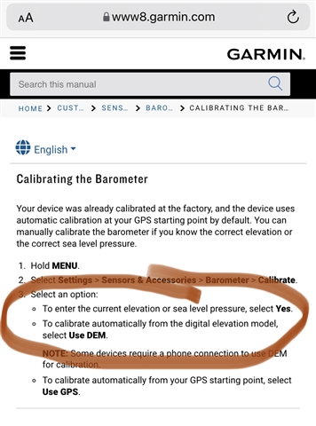
Thanks for a hint - when we can calibrate the altimeter using the GPS, why we cannot use GPS altitude in activities? I vote for!