Where can I find a step by step process to download tracks from Inreach Explorer+/Earthmate App iOS? I am a long time PN-60w/Inreach user, now purchased a InReach Explorer+ to use with my iPhone. I recorded a hike track yesterday sending points every two hours and track every 30 seconds. I can see the track on my iPhone display, but can only see the four 2hr points on the Win10/Chrome inReach.Garmin map. I want to download the detailed track and make a display map for my trip report. Thank you for your help. ciq.forums.garmin.com/.../1387703.jpg
The logged points (at 30 second intervals in your example) are only uploaded to the web site when you sync the inReach with the site. You can do this either via a wired sync or an OTA sync.
In a wired sync, you connect the device to your PC using the USB cable. Sign into the web site, go to the Sync tab on your account, and perform the sync. This involves the SyncDesk utility program, which will be launched automatically by the web site.
In an OTA sync, you use the Earthmate app on your phone to do the sync. Open the app and be sure the inReach device is connected. Go to More > Options > Account & Sync. Enter the same user ID and password you use with the web site. If the sync does not start automatically, tap the Sync link that appears just below the credentials. If you've signed in with the app before, it's supposed to remember the credentials. Sometimes it appears to forget them. If this happens, swipe the app closed and reopen. Credentials should magically reappear.
Once the sync is done, go to the Map tab on the web site. Use the export button to create a .gpx or .kml file. You will be warned about the following when you do this. Heed the warning. The contents of the exported file is determined by the filters you apply on the map page!
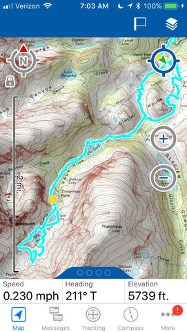
Thank you ... could not remember the sequence. So used to using the PN-60w & TopoNA that I keep forgetting the new sequence. I like the magical technique ... Now I will upload to my TopoNA and make my trip report map, and update my decade-long archie to hikes & climbs! Is there a better way to make trip log maps in this more modern Garmin/DeLorme world?ciq.forums.garmin.com/.../1389094.jpg


