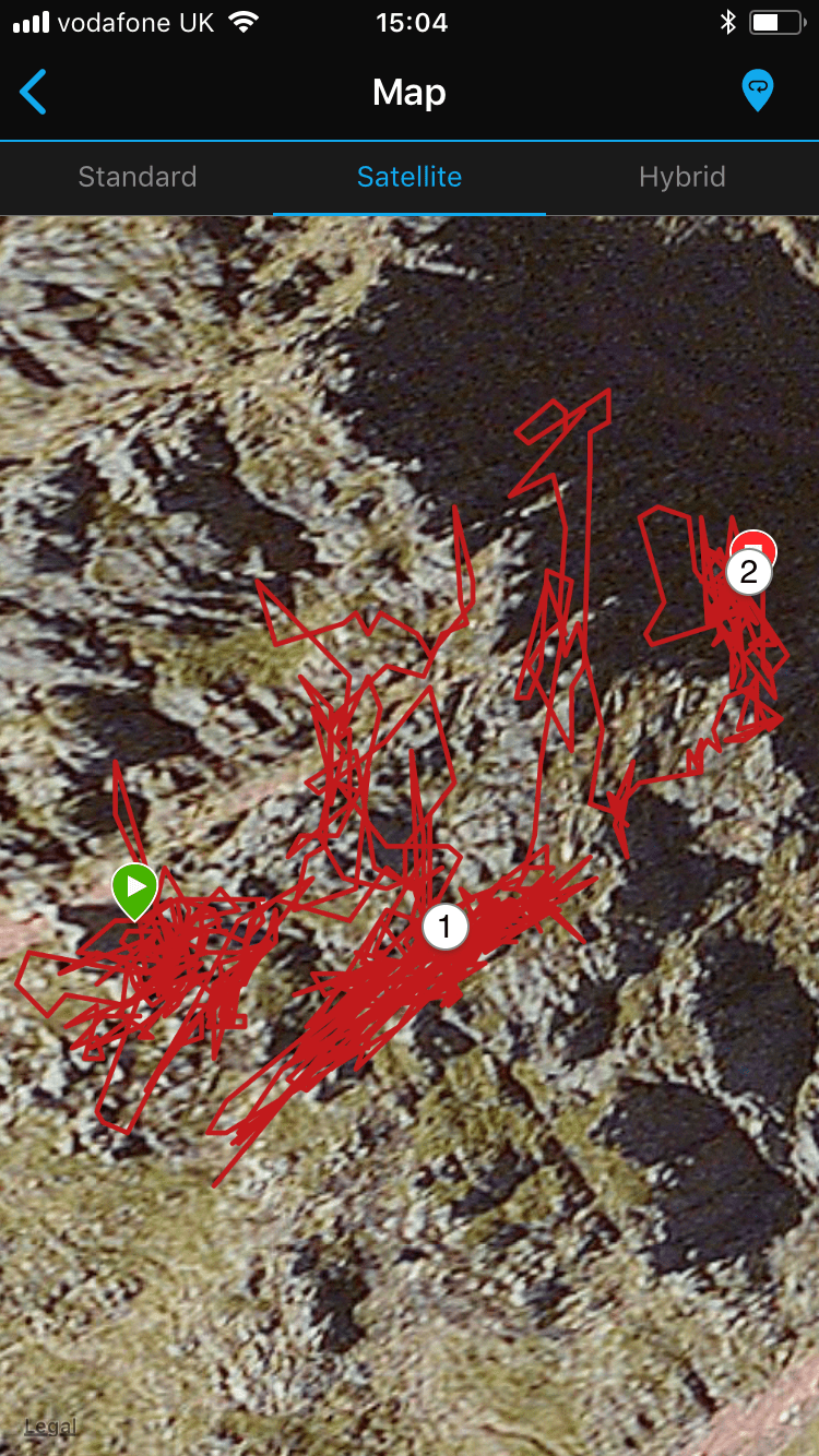
The elevation gain/loss is pretty accurate on my 5x for rock climbing, but the route map tends to be a bit crazy (see attached). I'm guessing this is due to the relatively slow ascent compared to the amount of data points collected? Is there any way to smooth this out without losing the vertical elevation accuracy? Some of the points gathered are a long way off route - and would require wings :) ciq.forums.garmin.com/.../1360164.png
I wish there was a good way to track outdoor rock climbing, but i think the GPS signal is just going to get completely screwed up with the reflections off of the rock and with so much of the sky blocked. There is the additional problem of not having a good way to visualize the vertical track. You could try the boulder application (Connect iq store) to cut out GPS all together during the climb. Track the approach, switch to boulder to track the elevation gain, and then track the walk off. I wonder if you could do it as a multisport activity so that your approach and walk off tracks are recorded. I'd leave my watch in the top of my leader pack for that.
Yes that makes sense - I’ll have a look at the boulder app. Otherwise that’s pretty much what I do - record it as a hike in and and out and shove the watch in a pocket or pack for the actual climbing - or at least I usually remember to, though the increasingly scraped bezel might suggest otherwise ????
You could try the "Ultra track" mode. It is supposed to gather fewer data points during the activity so MAYBE it will be better..
My guess is Ultra Track will be worse, at least it was for me when I tried it. It seemed like it didn't always have a good satellite lock when it grabbed a point, so some of the points were WAY off. Kind of the same problem you have now. But who knows until you try it...


