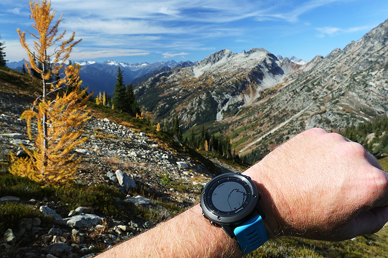
1: I've watched videos of creating routes and downloading to the watch, most of these are cyclist and using streets to create their route. I will be hiking with no roads or trails and was wondering if I could create a route on the computer and then download that to the watch. I'm hiking public land with private land interspersed. I want to be sure I'm not trespassing by creating my route to walk around property lines.
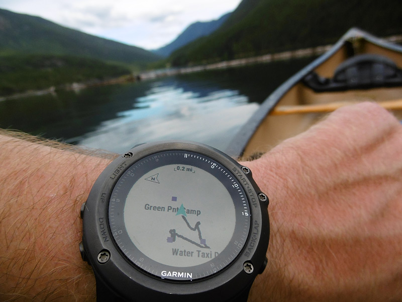
2: Say I go for an unplanned/routed hike. Can I upload my path and saved way points from the watch (of this hike) to the computer and view them on an aerial map?
3: Say I see something in the distance that I may want to hike to in the future. Can I save an estimated way point on the watch for a coordinate that I'm not physically at to view at a later date?
I'm new to this and fairly ignorant about gps watches so please keep that in mind in your answers :) Thanks in advance.