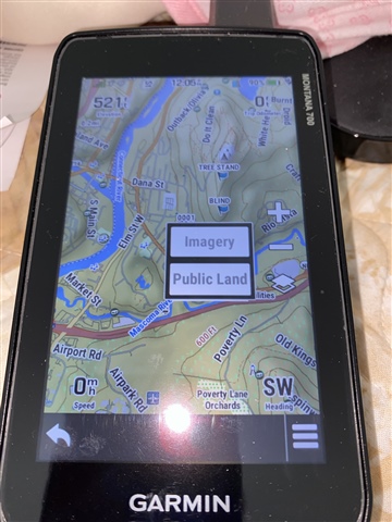
Is there a way to add maps to the 'layers' button on the map screen? The only layers listed are Imagery and Public Land. That would be a very convenient way to enable and disable maps while on the trail, without having to go through several other menus, and toggle the maps on and off.


