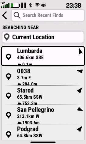
Elevation gets cut in half in the cells of Waypoint list:
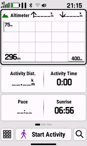
Arrows for ascent/descent in Altimeter glance overlap with data: