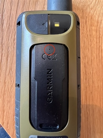
GPSMAP 67
Calibration on GPS
Calibration auto: permanent. Calibrate with GPS
I walk on flat level 20m (on map) . The elevation is increasing 20 m to 50 m and the elevation given with GPS remains between 20-30 meters
How do you explain this?
What is the process to compute elevation according to pressure? Is there an explanation?


