I am just experimenting with some map files and now I am not sure how many .img files I can have active at same time. So far I did not find any infos in manuals. Or how is the use of the .img files limited otherwise?
I am just experimenting with some map files and now I am not sure how many .img files I can have active at same time. So far I did not find any infos in manuals. Or how is the use of the .img files limited otherwise?
Your original question was, how many .img files can be active at the same time? I think you know, that to have activated more than one map for the same area might cause issues. Or are you more talking about additional layer maps with contour lines, special paths etc?
Checked it on my 66i.
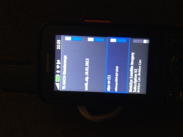
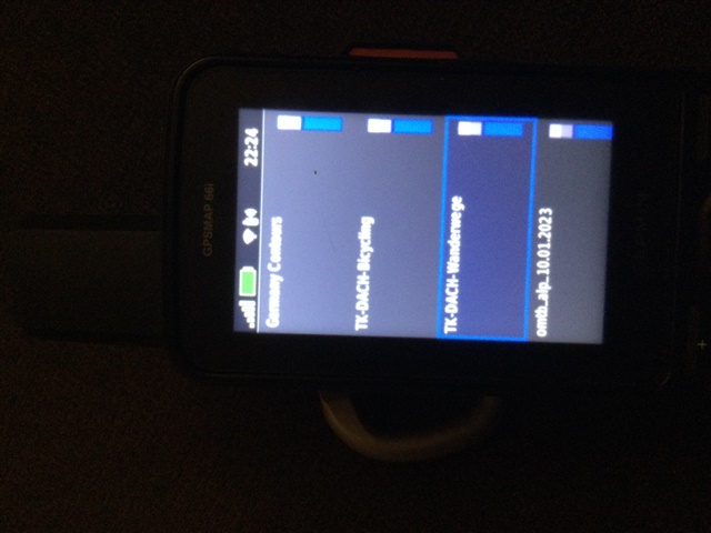
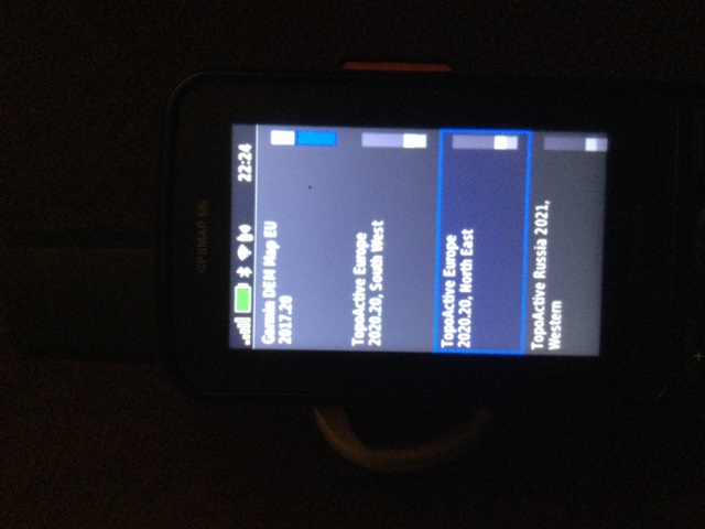
Have enabled/activated following maps at the same time:
I have 10 additional maps available/installed on my 66i.
If your question was more: how many maps can be added to the 66i? I don’t know, but I think the limit isn’t the number of .img files but rather the number of map tiles/segments.
According to this page, the limit for the 66series seems to be 15.000. But I don’t know, if that is correct (but same numbers as in twolpert’s link).
https://www.navigation-professionell.de/en/how-many-data-garmin-handhelds-wearables/
To get an app/program for counting the installed map tiles/segments number, you have to search the web.
thanks Volker,
yes well I know, on the other side it is slightly more complicated on my side.
We have still lot of 62s and 64s in service and on those it was standard procedure to have 12-14 files, basically covering whole world. As 62/64 could not manage it, we found out that max 4 of those files can be active. The other files are renamed from .img to something like .xxx and by this completely left out by the device. The user has instruction that when he travels to certain world area, he can rename some of the active files to .xxx and the desired map file to .img and he he has all he needs.
This somehow does not work this way on 66i, this the content of my try and error experiments, as the expectation is the same behaviour finally.
Meanwhile one of the problems seems to be the preinstalled topo files. They seem to take lot of those 'segments', are in many cases of very poore quality.
I am now not sure if switching them off from the setup menu on the device really gives the space free or not.
Currently, I can only make active only one additional file. Adding second one makes the 66i going to boot loop or other strange behaviour. There are 3 Europe Topo preinstalled as well as the worldwide base map.
But the 66i can handle 3or 4 times more map tiles/segment as a 62/64. Have you tried to install the maps on a sd?
Attached pics from the map settings of my 66i


sure I have them on SD, would never install on the device itself
it is simple that I can have only one .img and all others have to be .xxx whereas on the 62/64 I can have up to 4 img files active
However it is very difficult to do any faultfinding, one can never be sure that the files itself are perfect.
What I am not sure, 'switching off' , as in your pics , does really free the place for other other maps or they will be read in anyway, but just kind of inactive.
What I am not sure, 'switching off' , as in your pics , does really free the place for other other maps
No.
All Map *.IMG files are indexed at boot. If the map segment limit is reached, the device stops indexing map data at that point.
When boot is completed, only the maps that have been indexed will appear in the map page setup list. Turning them on or off does not 'make more room' for other maps. It simply tells the device if they are to be displayed or not on the map page.
Thanks atlas_cached
this does clarify lot
so I know now, to save the amount of map segments, I have to follow our procedure of renaming files more carefully.
Some small question is remaining, namely how does all behave when some maps contain similar segments and are active. Ro completely insulate all maps is rather difficult as adjacent maps will mostly have some common areas.
In addition the world wide map is everywhere and will also contain some parts which will be in other files as well.
Some small question is remaining, namely how does all behave when some maps contain similar segments and are active.
Most third party map makers are not concerned with overlapping coverage as they intend their maps to be used stand alone. In fact, how could any map maker ensure their maps have no overlapping coverage with any other maps? They can not. They can only ensure that their maps do not overlap each other. But very few, if any do this.
Having multiple maps enabled with overlapping coverage, especially maps with routing information, is always a disaster waiting to happen.
Combining maps from multiple sources with messy internal ID structures commonly results in two or more maps sharing the same internal ID information even though the user sees them as being separate. When any of these maps is enabled, they are all enabled. The same goes for disabling.
You may be creating multiple smaller maps from the same source, and giving them each unique names, but the as the source material is the same, it is so very likely their internal IDs will also be the same.
In addition the world wide map is everywhere and will also contain some parts which will be in other files as well.
If you are referring to the preloaded WorldWide Basemap, do not give it any worry. It will not share the same internal ID with any other maps produced by Garmin, and I would be very surprised to ever find a third party map using the same internal ID structure.
thanks for explanation, this is not always easy to understand
One problem I have. In our european 66i, there are TopoActive Maps for Europe west, central and east preinstalled. However the east map ends somewhere on polish border, nothnig after that even it claims to have all eastern of it as well. I have to now add external maps for the region east of polish borders.
So as I understand, this will interfere with the preinstalled TopoActive which I can 'switch off' but not really disable, it is read in during boot. So I am basically not able to install any map covering same area as the preinstalled map does claim to cover?
So as I understand, this will interfere with the preinstalled TopoActive which I can 'switch off' but not really disable, it is read in during boot.
You can change the extensions to '.xxx' for these maps just like you do for your third party maps to fully disable them.
So I am basically not able to install any map covering same area as the preinstalled map does claim to cover?
Sure you can! But, if it is a third party map not intended for use with the preinstalled TopoActive map you may run into issues!
All maps must be judged by the content of their cartography and not the name given by the map maker!
Happy MLK day!