Record the latitude and longitude format of the message
Former Member
Hi,
I would like to know which system is used to record the longitude and latitude coordinates, and which system is used to record the coordinates of WGS84, GCJ-02 and BD-09?
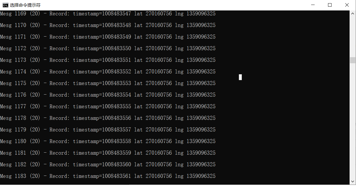
Try parsing fit files with latitude and longitude data using the decode project,What format is the value 270160756 in the figure below, which is completely different from the data obtained by GPS