Funktion des Digitalen Höhenmodells und Kalibrierung Höhenmesser

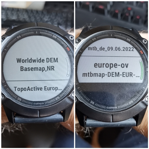
Wo ist das Digitale Höhenmodell hinterlegt und wie genau ist es?
Das Digitale Höhenmodell kann zur Kalibrierung des Höhenmessers verwendet werden.
Wo liegt der Unterschied zwischen Kalibrierung über GPS und über das Digitale Höhenmodell?
Die Bestimmung der Höhe über das digitale Höhenmodell erfolgt doch auch über GPS-Koordinaten.
Welche Kalibrierung ist genauer?

  • Da bin ich gespannt. Ich befürchte dass die Fenix nur das eingebaute DEM Material zur Kalibrierung nutzt und das aus 3rd Party Karten ignoriert. 

  • Ich habe in der MTB Aktivität alle Karten bis auf die neuen von openmtbmap deaktiviert.

  • Ich glaube das reicht nicht. Die DEM Karten werden sicher im Hintergrund abgerufen. Das könnte man sicher nur testen, indem (wie aber hier bereits schon von einem User gemacht) die img Datei umzubenennen, oder (aber VORSICHT ! ) von der Uhr zu löschen.

  • Muss man das? Ich habe sie einfach in der Aktivität deaktiviert.

  • Die DEM Karten sind in den Karten-Einstellungen überhaupt nicht sichtbar. Man kann sie einzig in der Datei-Struktur sehen, wenn man die Uhr an den Computer anschließt. 

  • Wenn man zum Punkt "Karten konfigurieren" geht, gib es dort neben den anderen Karten den Punkt "Worldwide DEM Basemap, NR".

  • Ah, ok. Danke. Thumbsup

    Sorry, Ich hab gerade die 7er (tactix 7) in gebrauch. Da gibt es die Auswahl nicht. 

  • Der Hinweis auf den Support-Artikel ist sehr gut.
    Ich habe mal im folgenden die wesentlichen Punkte herauskopiert.

    Auto Calibration On

    Setting auto calibration to On calibrates the sensor at the start of an activity. This will provide a consistent relative starting elevation if you do multiple activities at specific locations. When the timer is started the watch will try to determine the best elevation source to calibrate to, based on the following priority:

    1. Manual calibration immediately prior to starting the activity.
    2. Prior manual calibration point at the same location.
    3. Recent manual calibration, if the quality of the calibration is determined to be good enough.
    4. Map data (DEM - Digital Elevation Map), if available.
    5. Prior Connected DEM point at the same location:
      • Connected DEM refers to elevation data from the Garmin Connect app on a paired smartphone.
    6. Connected DEM, if currently connected to a phone.
    7. Prior GPS point at the same location.
      • Save Location immediately before starting the activity will also count toward calibration.
    8. GPS, if a good fix has been acquired:
      • After acquiring a GPS fix the timer ring will turn yellow. At that point, it can take up to 30 seconds for the GPS elevation to settle. If vertical speed settles to less than .1 m/s the GPS elevation data will be considered good enough use for altimeter calibration.
      • When the timer ring goes green the altitude is now calibrated.

    Before starting the timer, the elevation data field on the watch will preview the calibrated elevation.

    Throughout the activity, the watch uses DEM mapping data, and GPS elevation to make adjustments to altitude for any altimeter drift due to pressure changes caused by a weather event during an activity.

    Das würde bedeuten, dass in der Reihenfolge bei Punkt 4 zuerst eine Digital Elevation Map auf der Fenix, sofern vorhanden, gezogen wird. Wenn man nun in der Aktivität die von Garmin standardmäßig aufgespielte Karte Worldwide DEM Basemap, NR deaktiviert, müsste theoretisch eine externe DEM-Karte verwendet werden. Dabei ist wohl zu beachten, dass man die Deaktivierung an zwei Stellen machen kann, einmal in der Karten-App und einmal direkt bei der Aktivität. Die beiden Einstellungen sind unabhängig voneinander. Das hatte ich nicht bedacht. Ich hatte sie in der App deaktiviert.

    Erst wenn die Fenix keine DEM-Map findet, wird wohl über Zugriff auf die Connect-App auf dem Handy die Höhe bestimmt. Welche Höhendaten mit welcher Auflösung dabei verwendet werden, ist unklar.