This discussion has been locked.
You can no longer post new replies to this discussion. If you have a question you can start a new discussion

GPS track with "every second" recording

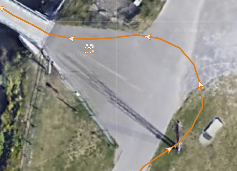
Is there a reason why Connect is not showing all the points when the recording is set to "every second"? Is it because older models had worse tracking? (considering the capabilities of newer ones maybe it's time to upgrade also Connect? :D)

Also, why do we have 2 different levels of zoom between mobile and web connect?

Tried to search a bit but didn't find anything related to my questions :)

  • You can check how resources are loaded, polyline is here:

    connect.garmin.com/activity-service/activity/***ID***/details?maxChartSize=2000&maxPolylineSize=4000

    So there are limits set, you can try what points will be returned with changed limits for your activities. F12 -> Network, select request, Edit & Re-send. If you get better data this way, then you can try some web-browser's addon to redirect that link to a changed one.

    Or open in some mapping software, then you have plenty options, often better photomaps and zoom.

  • About the polyline, I have by using the scripts you have supplied been able to fix a lot of stuff that didn't follow along when I migrated from Polar. I have been trying to modify your script to be able to in a controlled way download the json file of the polyline. I can see it and manually copy it in the Network section of the console, but I have not been able to download the json file. Would you have any suggestions to how your script could be modified to do that?

    I also tried using some of the jQuery.getJSON examples that can be found here in the forum, but that didn't work either.

    I really don't need the whole polyline, I'm mainly interested in the start/stop/min/max lat long values. But they should be easy to extract from the json.

    Regards, /Pär

  • Examples how to download a file:

    You can use the link for charts and a polyline or only polyline:
    connect.garmin.com/modern/proxy/activity-service/activity/polyline/***ID***

    But if you need only start/stop, then you can print those from the main loop:
    console.dir(a.startLatitude, a.startLongitude, a.endLatitude, a.endLongitude)