This discussion has been locked.
You can no longer post new replies to this discussion. If you have a question you can start a new discussion

Elevation gain/loss in courses largely overestimated

Hi,

I have recelty bought a FR 945 and I am new to the Garmin ecosystem. 

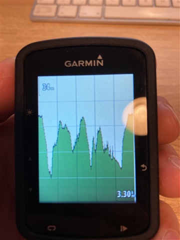
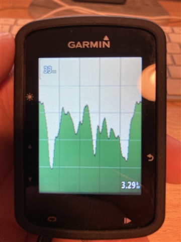
I have created a number of road cycling courses both by designing them directly on Garmin Connect and by importing them from Strava via GPX files. In both cases, Garmin Connect overestimates the elevation gain and loss by roughly 20-30%, making e.g. the ClimbPro function totally useless. When creating hiking courses things seem to work fine. 

Any suggestion on how to fix this behaviour?

Thanks a lot!

  • imported via Garmin connect

    same course imported via Komoot connect iq app on edge - on can just see the spikes on the elevation profile after loading the course via connect. 

    this leads to huge problems with pacepro and climbpro features on (the forerunner 945 or other) compatible devices, rendering these features useless. there are multiple posts concerning this in this forum - Former Member, Former Member, or whoever this may concern, is this an acknowledged problem at garmin? these problems are months old and render new features and the whole new sync process completely useless!

    post and pictures with forerunner here: 

    https://www.dcrainmaker.com/2020/05/garmin-launches-strava-komoot-route-sync-works-on-devices-a-decade-old.html#comment-3562253 others have reported the mistake there as well.

  • Same problem here. 1300+ meters becomes 2000+ after importing

  • As diskussed in the other thread some other users and also me have opened a ticket with garmin support and i would invite you, to do the same.

  • Same problem. I have a hard time planning routes this way and it is a huge pain for me.

  • Hey, the best thing to do is to create the route in Strava and then export as GPX. Don't mark it as a favourite in Strava (because it may automatically transfer over to your device). Then connect your garmin device via USB and naviage to the NewFiles folder and just paste the GPX there. It's now available as a course with correct elevations. I have been using Climbpro with great sucess this way!

  • Hey, just try to create the routes using anything but Garmin and save as GPX. Then copy and paste the file into your Garmin device (connect via USB and put it in the New Files folder). Shame Garmin's platform ruins it's own products... but you can work around it!

  • It's a good workarround and I'm using it also but it is not complitely same as course created in garmin connect - you don't get the warnings about aproaching to the turn or crossroad or any point where you need to make a turn. I have been reading about this issue for a while now and can't belive how Garmin just don't care about this problem.