
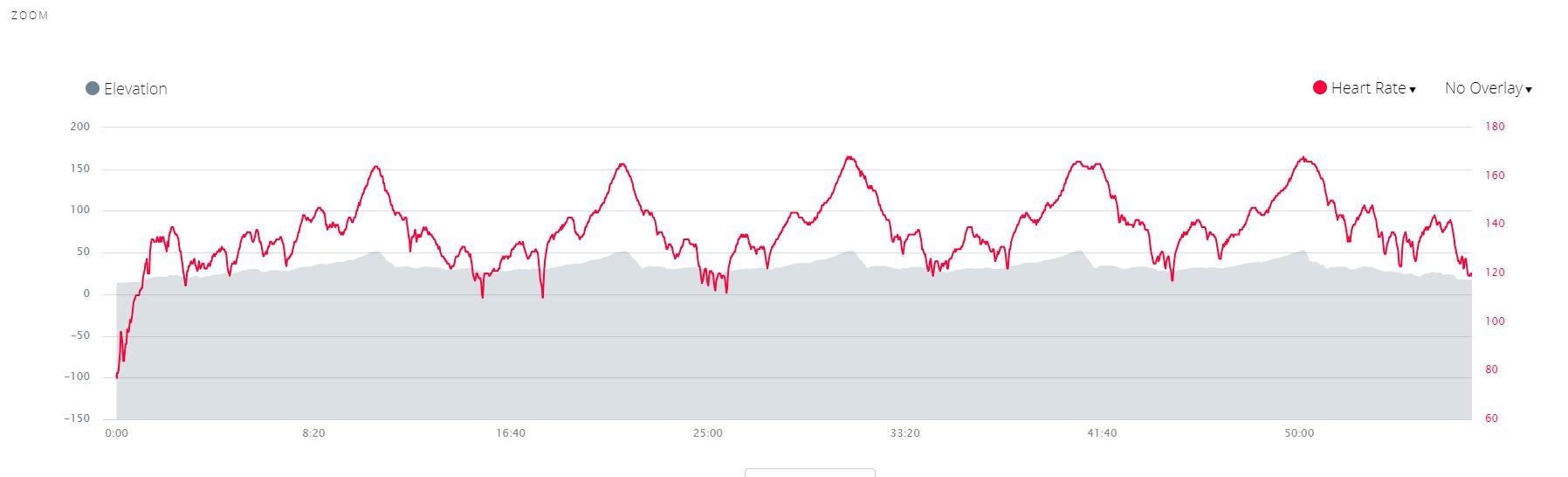
I look at my activity after each MTB trip, and like to compare heartrate with elevation, but zooming in shows the elvation as -200m to +200m, so my training heightmeter only shows as small ripples as my tracks are normally within 20-30m in heights (but a lot of those small hills).
It would be nice if the elevation limits was smaller or scaleable.
Sincerly yours McYogi
PS it is hard to get good graph, when you live in a country which highest point is 173m ;-) ciq.forums.garmin.com/.../1396192.jpg