
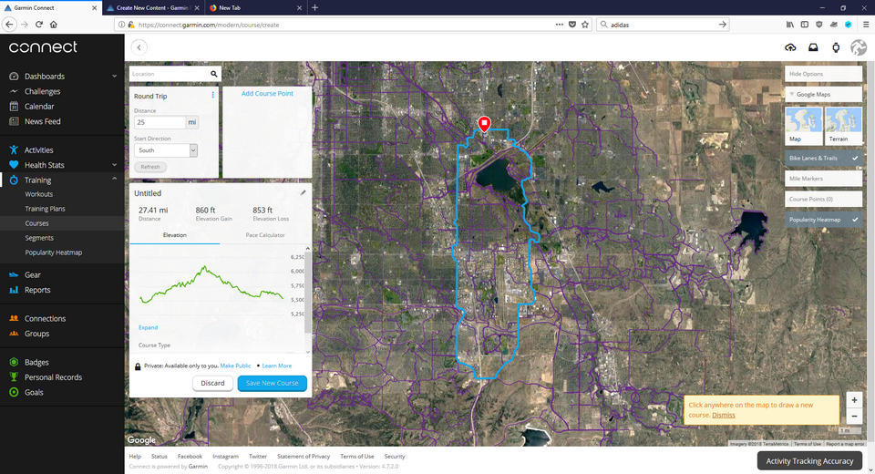
When I create a Round Trip course in the web application, it shows the plotted route on the map. It also shows a summary of the course distance, elevation gained, elevation lost, and an elevation profile along the route (Figure 1).
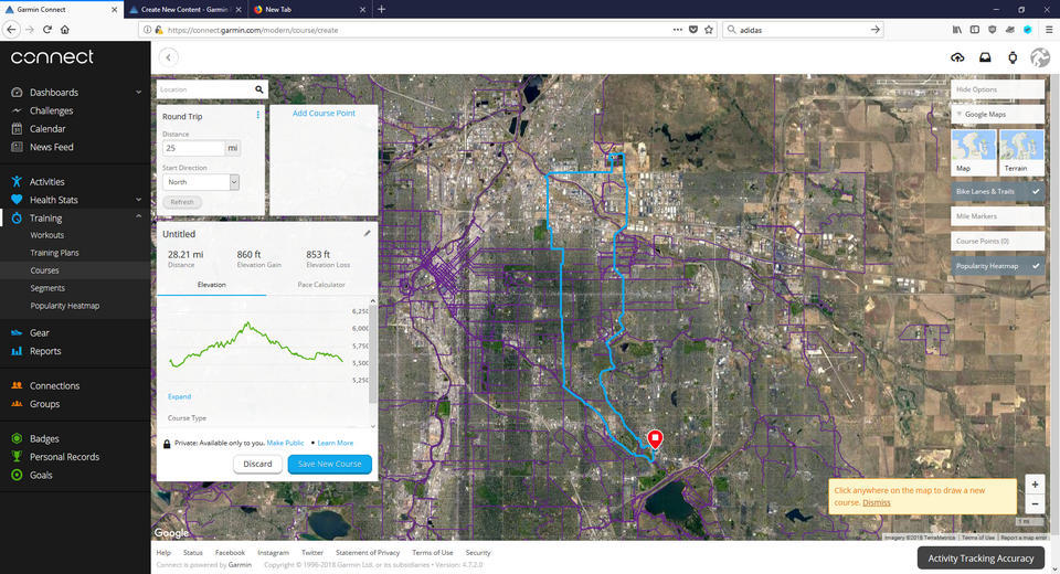
If I change the Round Trip parameters (such as the Distance or Start Direction) and refresh the course, the new route is computed and shown on the map and the route distance is recalculated and shown in the summary as expected. However, the Elevation Gain, Elevation Loss, and the elevation profile do not update (Figure 2). They remain the same as the first course that I created. The only way I've found to have the web application recalculate the elevation data is by re-loading the web page. I've tried this on Firefox with add-ons disabled and on Chrome and Edge with no add-ons installed. I get the same results everywhere.
Is there a known tweak to force the elevation to update when a Course is "Refreshed"?
ciq.forums.garmin.com/.../1359205.jpg ciq.forums.garmin.com/.../1359206.jpg