This discussion has been locked.
You can no longer post new replies to this discussion. If you have a question you can start a new discussion

Uploading FIT files from Suunto watch app create wrong data in Garmin Connect

When uploading FIT files from Suunto watch app to Garmin Connect, elevation data is displayed totally wrong by Garmin, like 22 m ascent in the original activity and 252 m ascent in the Garmin Connect.  Same data from Suunto displays correctly by Strava which Suunto watch is synched with, so it is clearly a Garmin Connect error.

  • Open the imported activity in Garmin Connect Web, and try turning on or off the Elevation Correction option (on the right side of the screen), to see what difference it makes,

  • The view of this (or any other) activity in GC web does not have any Elevation Correction option

  • Please make the activity public and share the link here. Or post a screenshot.

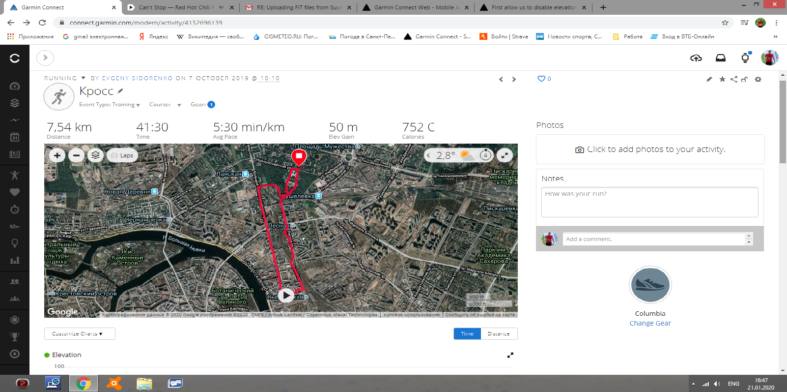
  • See above a screenshot. This activity originally has 16 m ascent on the Suunto 9 Baro watch, GC has 50 m. For every activity uploaded from Suunto, GC has screwed up the ascent and descent datam with no apparent system or similarity. Differences used to be 10-20%, since November last year from some activities show up to 1000% difference. 

  • What file format did you use for the import? Do you have another option for the export from Suunto? There must be some, because just yesterday, in another thread, there was a user importing activities from Suunto, and his activities do show the Elevation Correction under the Notes. He could fix the elevation discrepancy by disabling the elevation correction manually at each activity.

  • It is a FIT format, and the Suunto mobile app does not have any other options of format to download activities. 

  • This user creates TCX using another tool that Suunto app, and he still has to manually correct altitude in GC. I can do the same (i.e. manually edit altitude) with my FIT uploads to GC, as other parameters seem to transer correctly. Don't see much sense in TCX as the same problem is obviously there. 

  • A possible solution, if you cannot use another file format, would be calibrating the altimeter on the watch. Of course, just if your watch does have a barometric altimeter. The calibration using the DEM method (Digital Elevation Model), if available, would be the best. Another possibility would be suppressing the export of elevation data, or deleting them from the file.

    As explained in the other thread, the problem is caused (in locations with lower density of topoghraphic data) by the difference of the elevation profile from the device (which is typically wrong a few meters) and the topographic data - that is used for the elevation correction. And unfortunatelly you cannot turn the elevation correction off by default, unless you have a Garmin watch with a barometric altimeter.