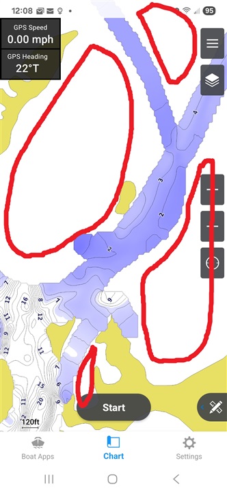
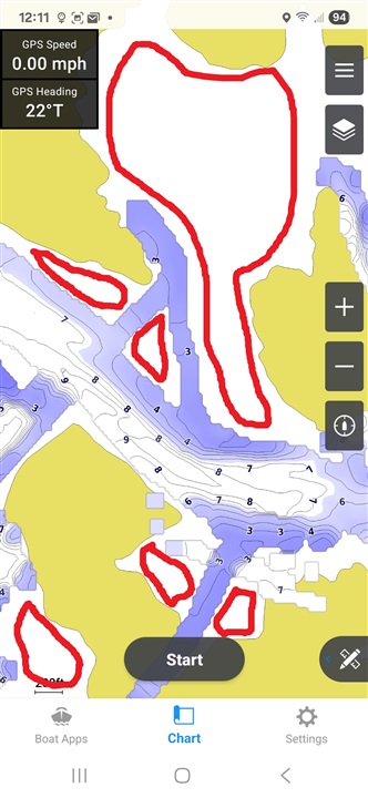
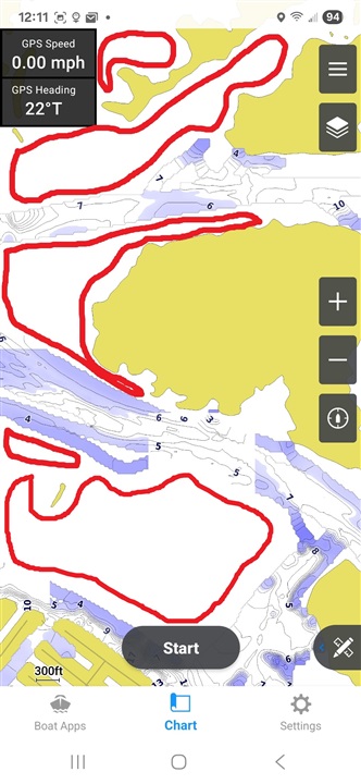
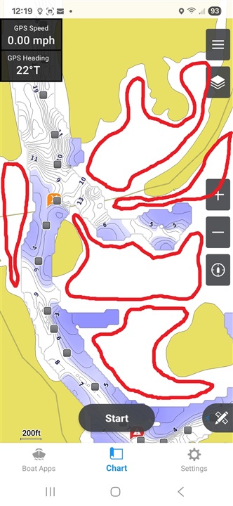
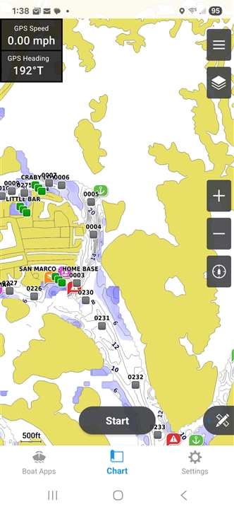
What are the white (unmarked, unshaded) areas on the charts (maps). They seem to appear the same way on all charts I've seen, including Active Captain, NOAA, and every printout that boat marinas sell. I'm brand new to boating and would not want to get stuck somewhere ... My home base is San Marco Marina in south Florida (Goodland). There are only a few channels marked with depths, with majority of intercoastal waters showing white and totally unmarked. I'd like to explore more areas for cruising and fishing. My boat is Hurricane with Garmin Echomap UHD 73CV. I also use Active Captain on my phone to create routes. Any advice will be appreciated.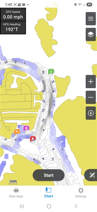
M