BaseCamp handles Transparent Maps differently from MapSource

Former Member
Former Member
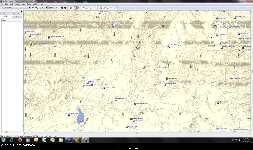
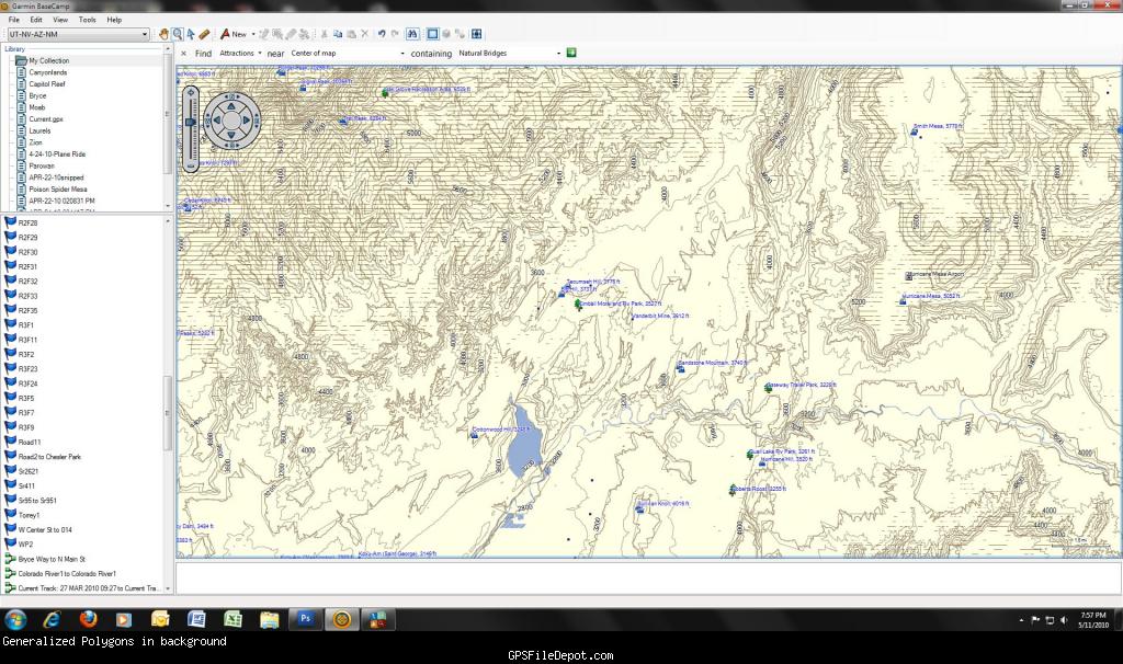
Maps compiled in cgpsmapper with the Transparent=S switch show the preview map lines in BaseCamp (ugly) but not in MapSource. For anyone interested in a comparison view

http://www.gpsfiledepot.com/maps/view/285

in both viewers. I compiled it using cgpsmapperfree with the S switch set.
  • Former Member
    0 Former Member over 14 years ago
    I'll apologize in advance because I'm not as familiar with the map drawing options as some of my colleagues are.

    Is the intended behavior to be the same as MapSource? Which version of MS were you using? Also do you have just a pair of screenshots that could highlight the issue?

    I'd like to make sure I capture the feedback as accurately as I can.
  • Former Member
    0 Former Member over 14 years ago
    Here's a screenshot of a semi-transparent overlay map from MapSource beta 16.0.3. I made this to overlay topo on my copy of CNNANT. Note the absence of the generalized polygons visible in the BaseCamp screenshot.


    Here's a screenshot of the same map from BaseCamp 3.0.2. Note the lighter gray generalized polygons in the background. These appear to be the next zoom level up. I would think that only one zoom level should be rendered in either BaseCamp or MapSource.

  • I looked at the problem you pointed out using the map you linked to. I assume that the screenshots you included show the same problem (they are apparently from a different map, so I could not verify).

    What is happening is that the base map includes contour lines. Since the detail maps are marked as transparent, the lines from the base map show through.

    This was brought out in BaseCamp due to the changes made to support BirdsEye Imagery. The way MapSource renders is actually incorrect, as the base map is being obscured by a transparent map - I'll look into it.

    For your transparent overlay maps, you will want to make sure that the base map does not contain any line data, since it will show through the transparent maps.
  • Former Member
    0 Former Member over 14 years ago
    I'm not sure if I have mentioned it here, but there is another conflict with transparent maps and the preview map as discussed here: https://forums.garmin.com/showthread.php?p=34743#post34743

    The detailed maps never show up in any version of Basecamp and the latest version of Mapsource.
  • Former Member
    0 Former Member over 14 years ago
    I looked at the problem you pointed out using the map you linked to. I assume that the screenshots you included show the same problem (they are apparently from a different map, so I could not verify).


    The map for the screenshots was a combined version including the map on the link.

    What is happening is that the base map includes contour lines. Since the detail maps are marked as transparent, the lines from the base map show through.

    This was brought out in BaseCamp due to the changes made to support BirdsEye Imagery. The way MapSource renders is actually incorrect, as the base map is being obscured by a transparent map - I'll look into it.

    For your transparent overlay maps, you will want to make sure that the base map does not contain any line data, since it will show through the transparent maps.


    cgpsmapper introduced a preview map about a year ago, and the best way to avoid seeing the preview is to make a "semi-transparent" map. This works fine as an overlay for vector based maps like CNNANT, on my OR300 and 60CSX, but I haven't tried it with Birdseye yet. Totally transparent maps have a much nastier preview even in MapSource.

    Thanks for looking at this. It seems I'd better hang on to my MapSource for a while longer.