Trying to create a backpacking itinerary that includes both on and off trail sections. Will be importing it to a Fenix 5x Pro, and Earthmate for use with InReach.
Can't figure out how to plot the off-trail sections. Basecamp keeps routing me back to the nearest foot trail.
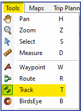
How do I create a track that includes both on and off trail sections?
I successfully created it using both GaiaGPS and CalTopo, but once imported it is converted to a few thousand waypoints, and still doesn't plot where I want it to.