
Why is Wisconsin shaded on this view of my map (CNNA 2021.1)? There are other states that appear this way (like PA, but only portions of others, e.g. ME)
Thanks all.
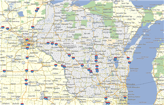
Why is Wisconsin shaded on this view of my map (CNNA 2021.1)? There are other states that appear this way (like PA, but only portions of others, e.g. ME)
Thanks all.


