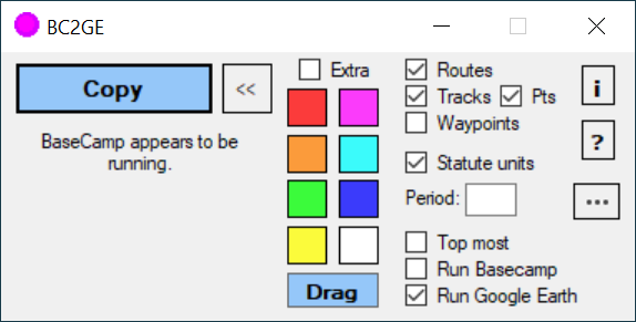
When exporting tracks from Basecamp as KML, the file includes both vector tracks and track points. These are separate within the KML and the tracks work as vectors if the points are deleted.
The point though clog up QGIS the startup process when I have to load many of them in a project. My work around is to manually delete the points folders in G Earth, or if there are many, to run the KML through the GPS Visualizer website to strip the points away.
I like the KML file because it holds the multipart tracks in one file, such as the sections of a hike, that QGIS opens it as individual layers for each track. Those layers can have individual styles.
Is there a way to get the track only to export from Basecamp without theses unneeded points?