
So, thanks to you guys here, I made a map from GPX files, use it as a transparent map on top of my topo map.
It was over 400 tracks, PITA to load, so making them to a map was golden.
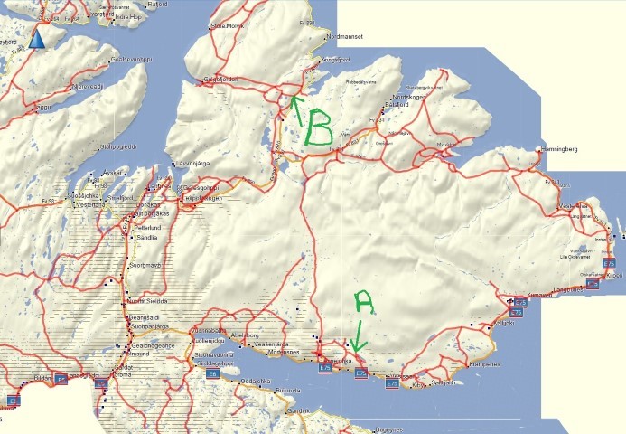
the map is of all the snowmobile trails in my county, they are the RED "roads" you can see.
so, how can I make a route from them, say i want to go from point A to Point B? is it possible?
I used IMGfromGPX and javawa to import it to BC.

